Measure roads, parks, land, countries, lakes, etc from a satellite view. Calculates distances, areas, and perimeters.
Features that this application offers that most competitors do not:
- Add custom distance and area units.
- Draw interior polygons. For example, land area with bodies of water removed.
- Add a point to the middle of a path (Most only allow you to add to the end of the path) Left click to add to the end. Right click to insert.
- Swap two points in a path or polygon.
Features:
- Search by postal code, city, address, etc
- 3 map layer options
- Export and import .kml files
- Many settings can be changed on the map without having to enter settings
- Pins are draggable
- Name, notes, and color fields for each path and polygon
- Email or text message path and polygon data
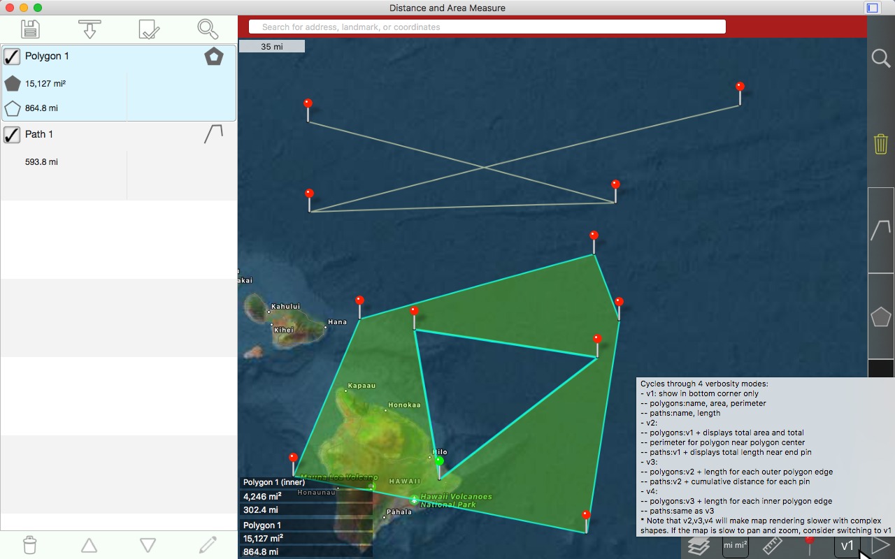
- 4 verbosity modes. See only the information that you want to see.
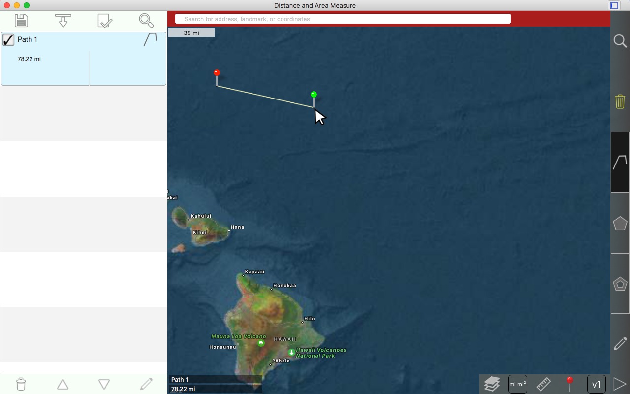
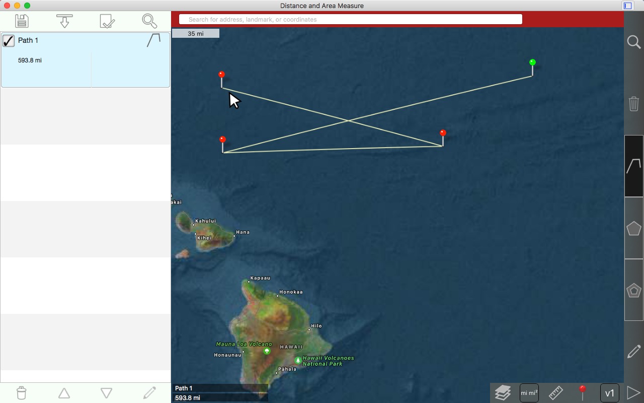
Values displayed for paths:
- Total distance
- Incremental distance for each waypoint
Values displayed for polygons:
- Area
- Perimeter
- Distance for each side
Add points to a path or polygon in 1 of 3 ways:
- Tap on the map
- Enter coordinates manually (add point by another method and edit latitude and longitude)
- Import .kml file
Default distance units include:
- Kilometers
- Miles
- Nautical miles
- Meters
- Feet
Default area units include:
- Square meters
- Square feet
- Square yards
- Square kilometers
- Square miles
- Square nautical miles
- Acres
- Hectares
Left click and hold somewhere on the map.
While holding down the left mouse button, continue dragging the map.
Release the left mouse button when finished.
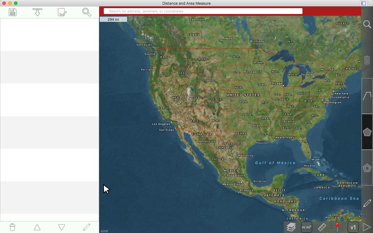
Zooming the map
Zoom the mouse scroll wheel.
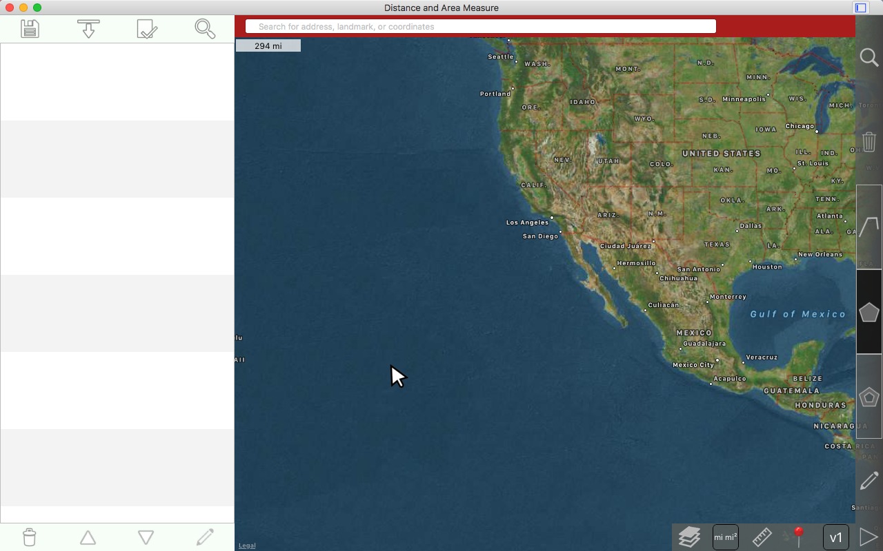
Scrolling in more
Scrolling in more
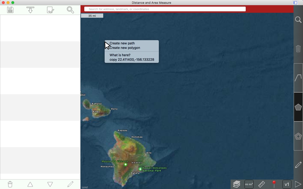
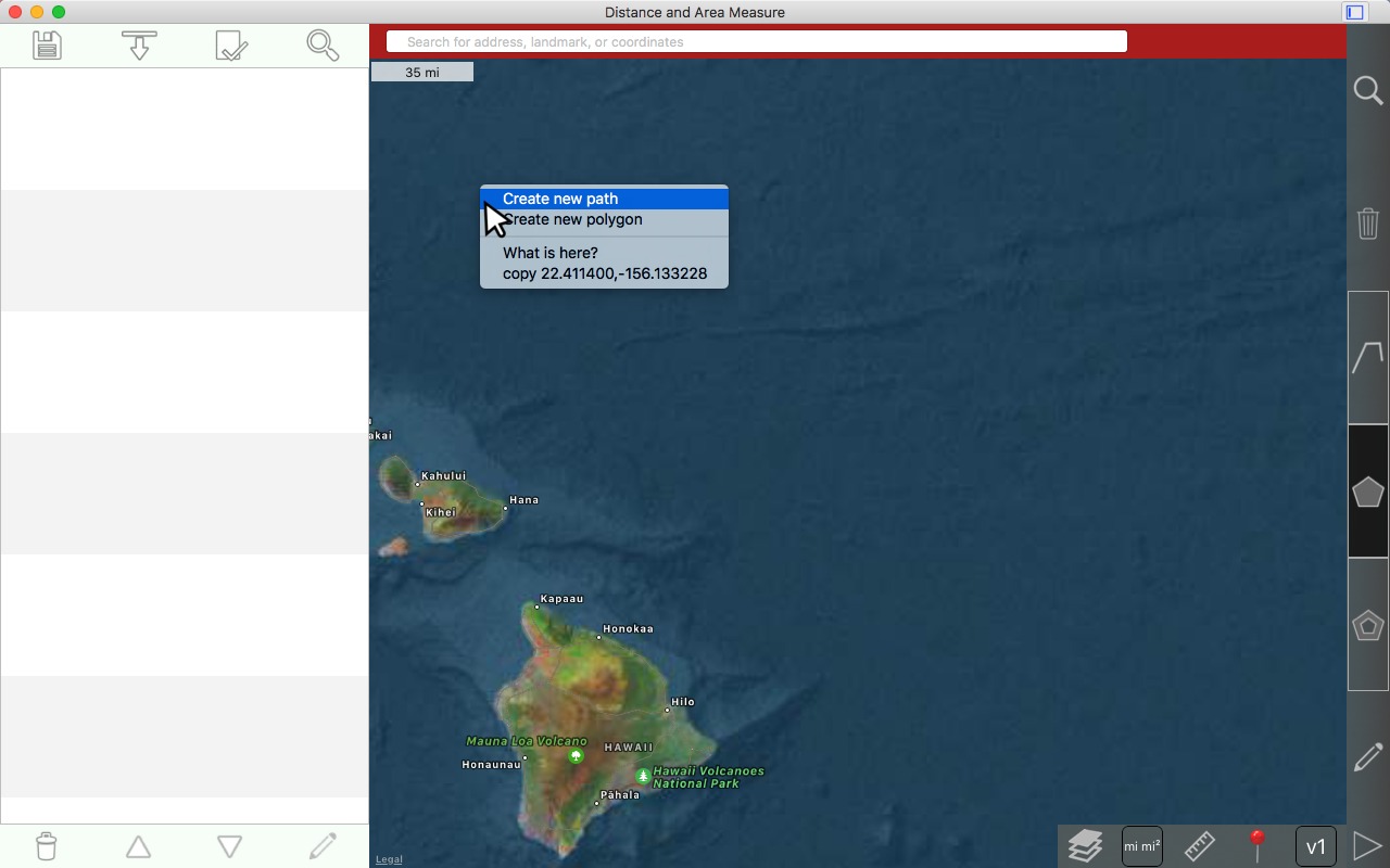
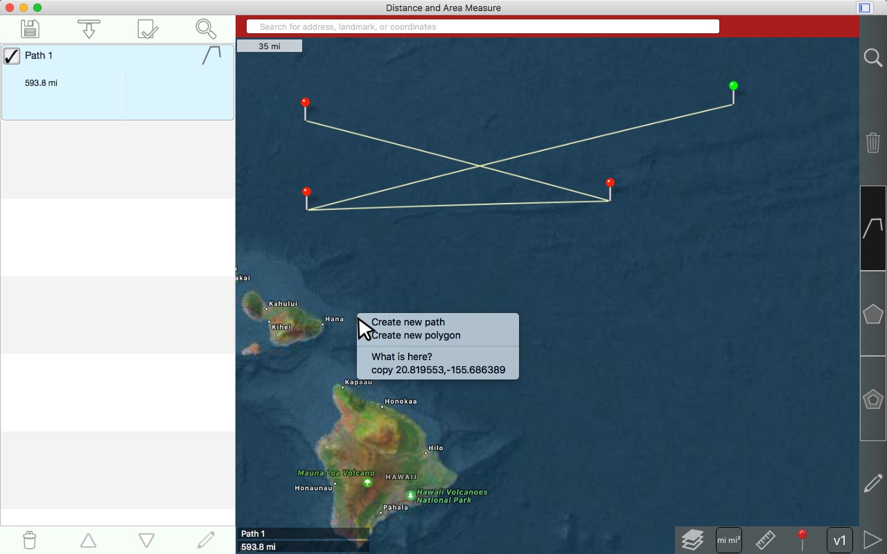
Drawing a path
Right click on the map where you want to place the 1st pin
Select 'Create new path'
Left click to drop the 2nd pin
Left click to drop the 3rd pin
Dragging a pin
Mouse over the pin that you want to drag
Left click and release the pin that you want to drag. The pin will become green.
Left click and hold. The pin will rise.
While still holding down the left mouse button, drag the pin
Still dragging the pin. Continue holding the left mouse button.
Drop the pin by releasing the left mouse button. The path will redraw.
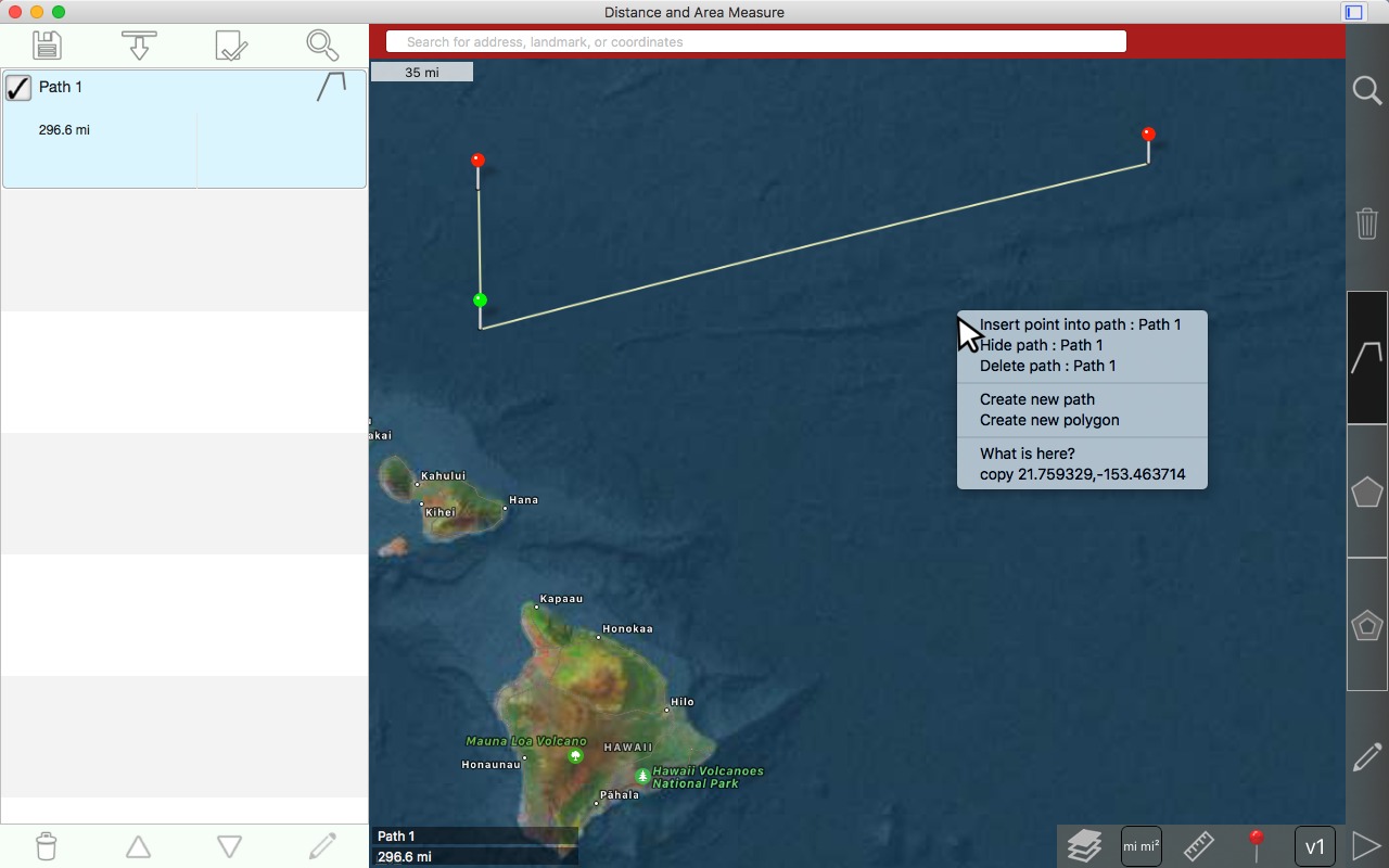
Inserting a pin in a path
Right click within the paths bounding box and choose 'insert point into line'.
Result
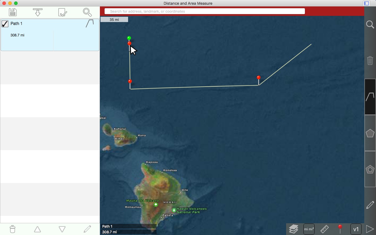
Swapping pins
Select one of the pins that you want to swap by left clicking and releasing
Left click and hold. The pin rises above the mouse cursor.
Start dragging the pin towards the pin that you wish to swap it with. Continue holding the left mouse button.
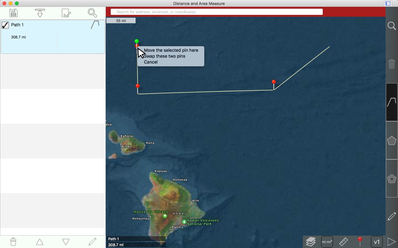
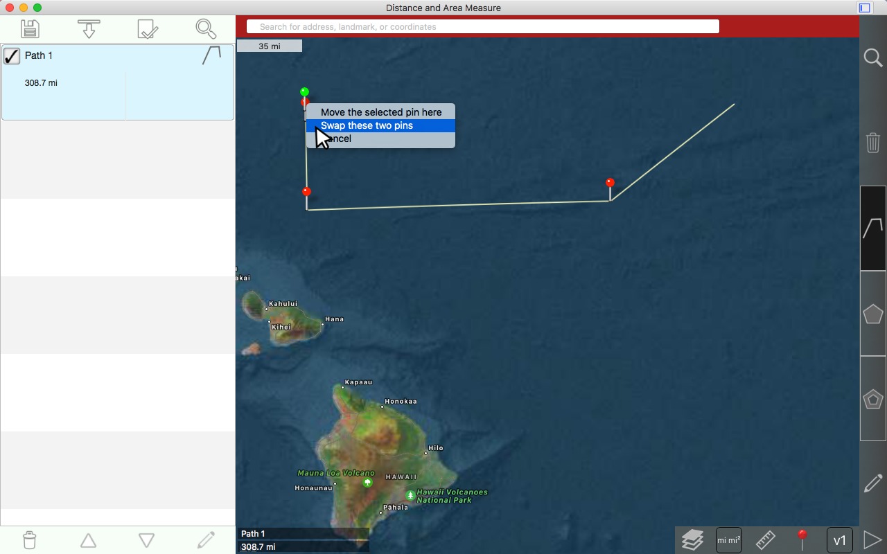
Drop the pin close to the other pin.
Choose 'swap these two pins'
Choose 'swap these two pins'
Result
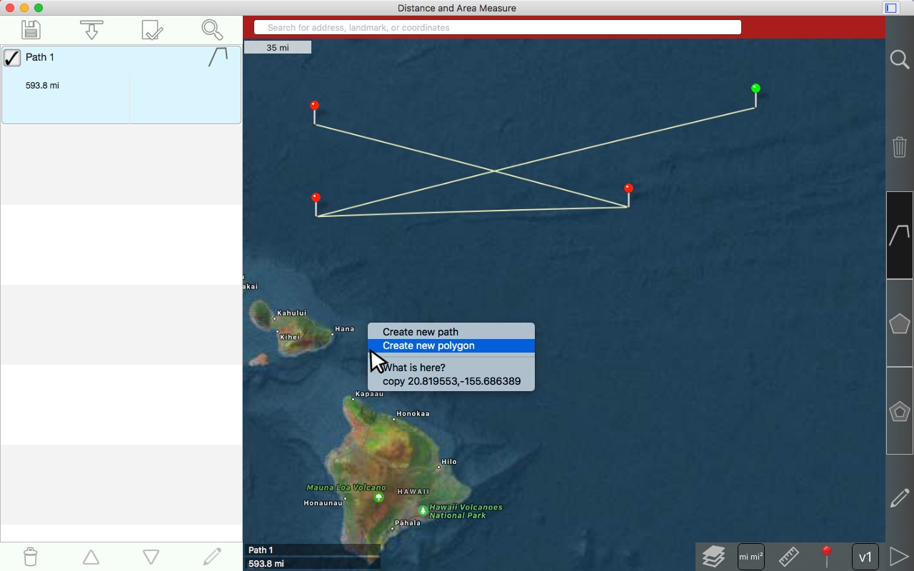
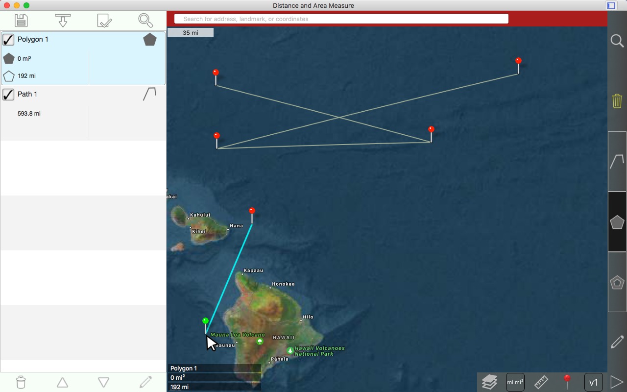
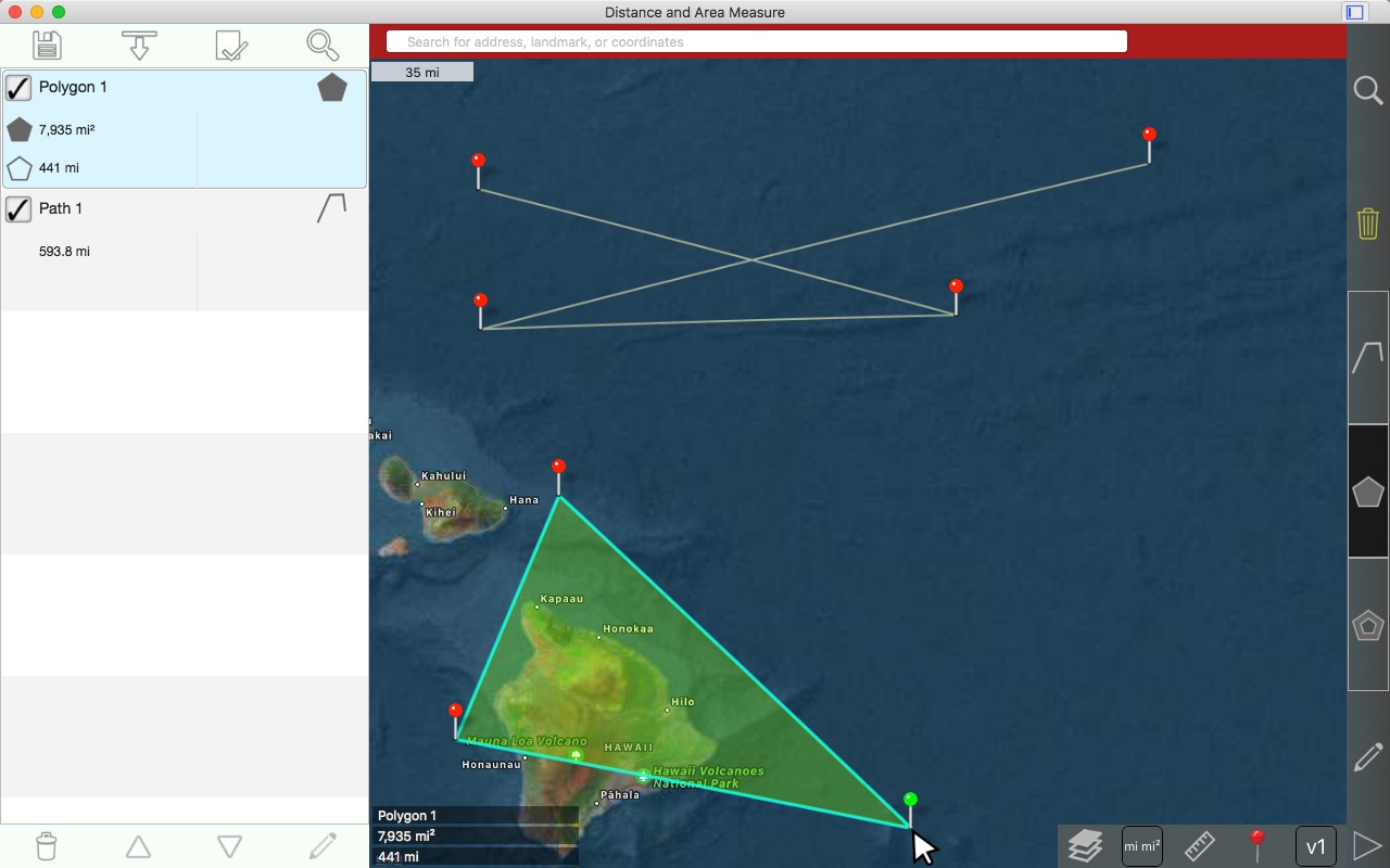
Drawing a polygon
Right click on the map where you want to place the 1st pin
Choose 'Create new polygon'
1st pin is drawn
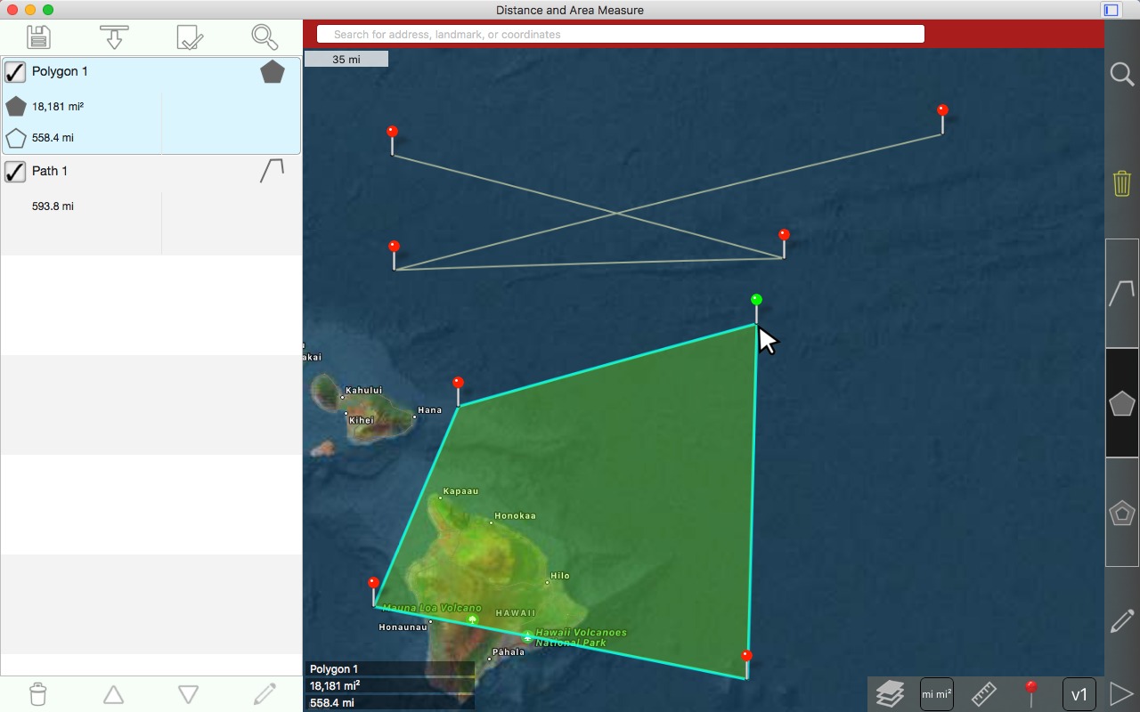
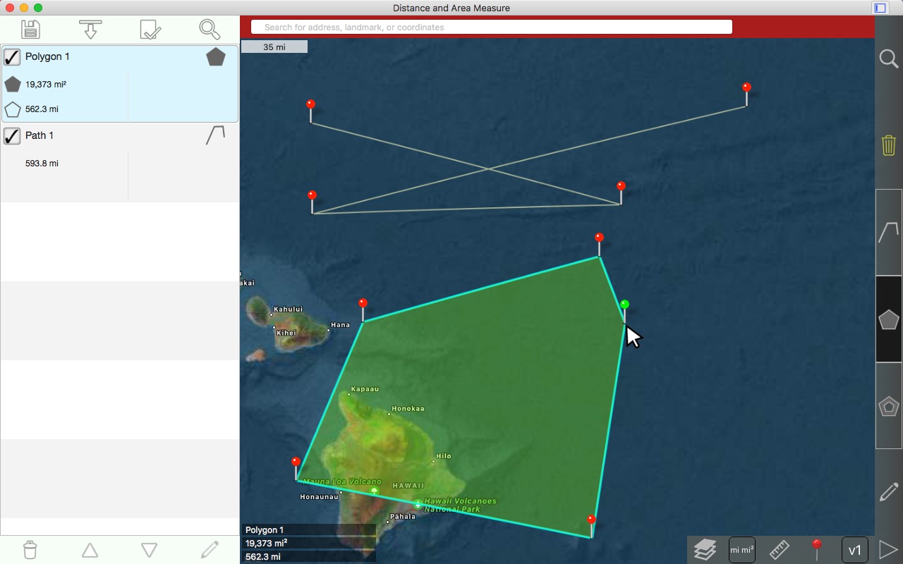
Left click to draw 2nd pin
Left click to draw 3rd pin
Left click to draw 4th pin
Left click to draw 5th pin
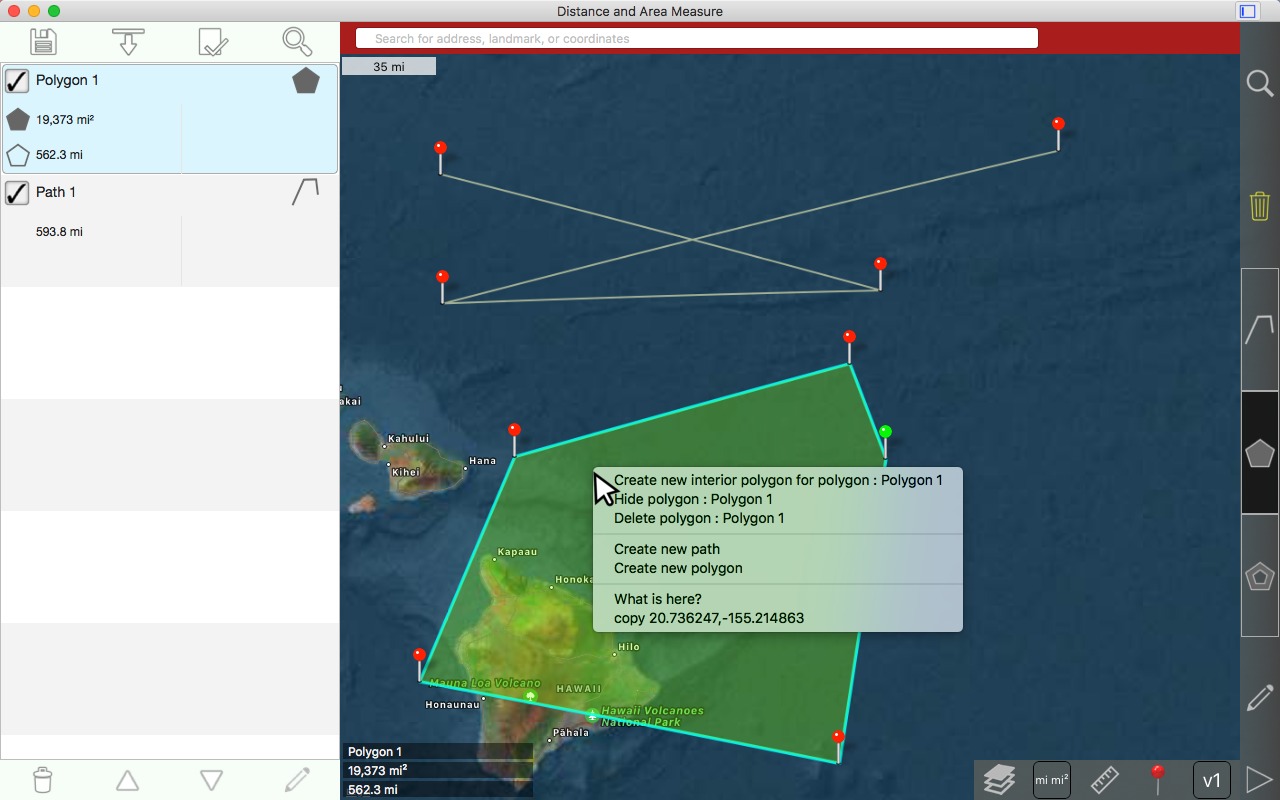
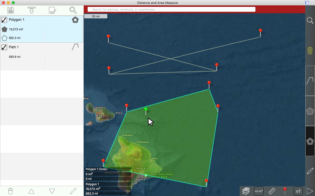
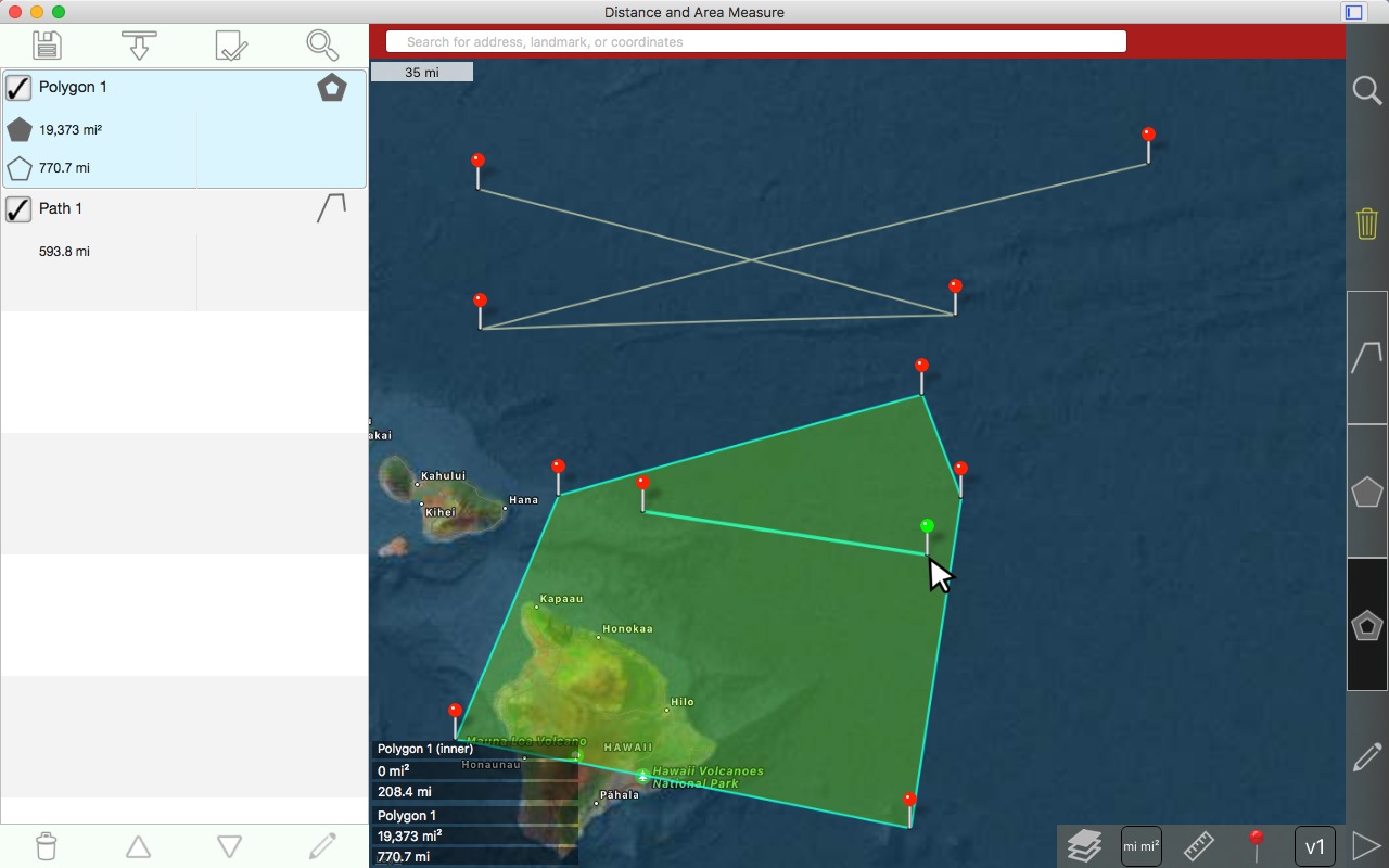
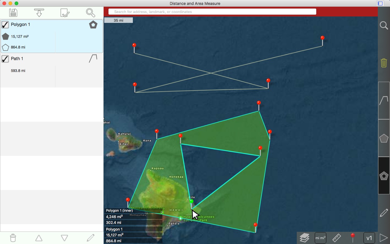
Creating an interior polygon
Each polygon can have any number of inner polygons.
Note that inner polygons can be overlapping or disjoint from their parent polygon. You must disable the setting in preferences. See the 'New Zealand example' for more information.
Right click in the polygon's boundaries.
Choose 'Create new interior polygon'
1st pin is drawn
Left click to draw 2nd pin
Left click to draw 3rd pin. Notice that the area of the polygon has decreased because the area of the inner polygon is subtracted.
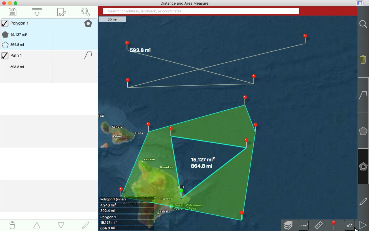
Verbosity levels
Verbosity level 1: Information only shown in bottom left corner.
Verbosity level 2:
Paths: total distance displayed near last pin
Polygons: total area displayed near center
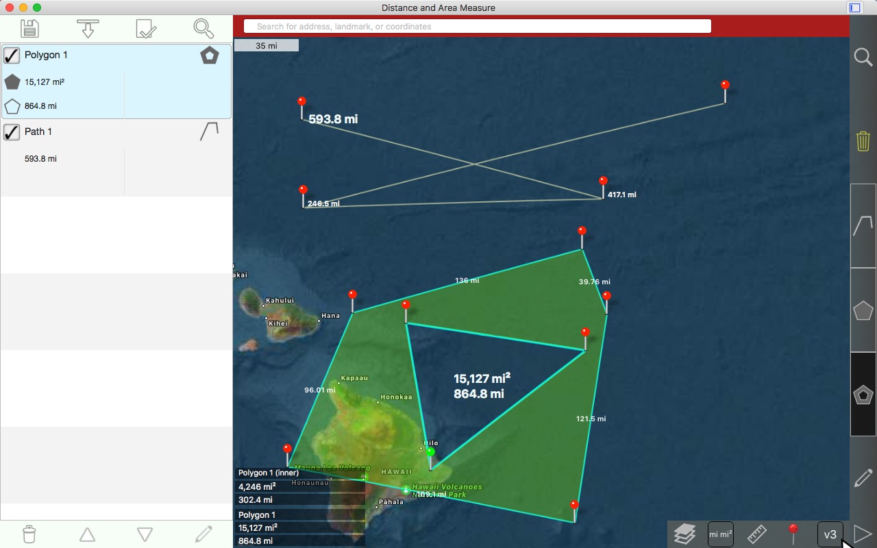
Verbosity level 3:
Paths: incremental distance for each pin
Polygons: length of each side of outer polygon
Verbosity level 4:
Paths: no change
Polygons: length of each side of inner polygons
Downloads: utah_and_new_zealand_polygon_examples.kml
Contact
Email:
kevinwillett80@yahoo.com
Please include 'Distance and Area Measure (Mac)' in the subject.
Please note that the review section of an app's store page is not the place to ask questions. Developers are not notified when reviews are posted. It may be several months before the developer sees your question.