Disabled auto correct for some text entry fields.
September 2017 update
- Removed the GPS requirement to make the app available for all iPads.
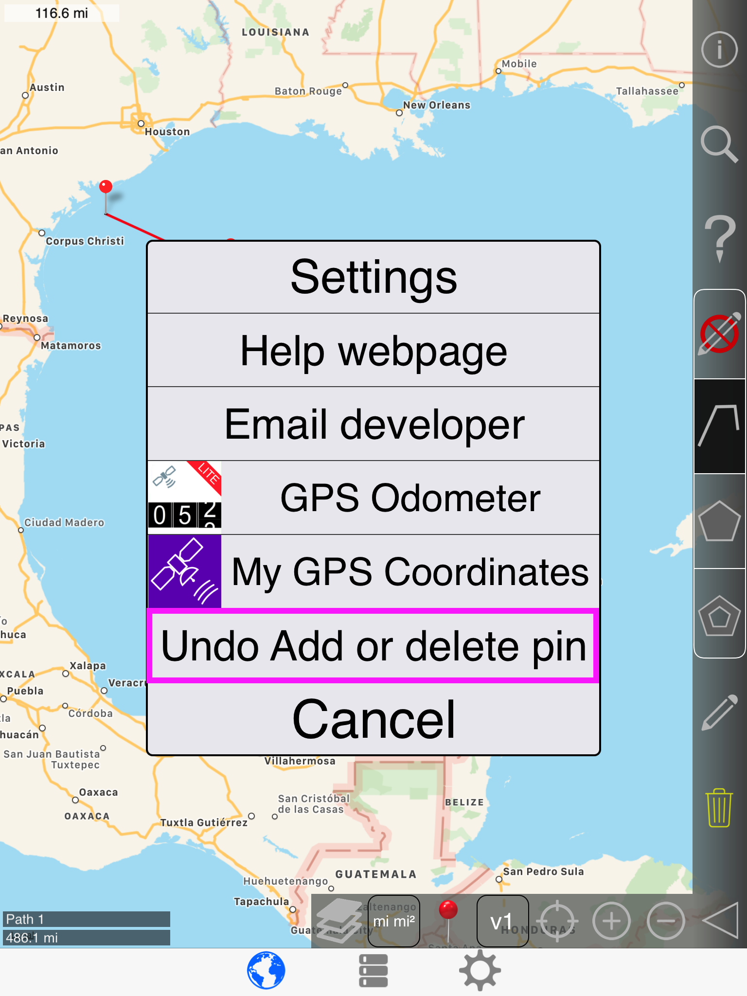
- Added undo / redo. This applies to the following functions:
- drag map pin
- swap map pins
- add / delete map pin
- add / delete shapes (paths, polygons, and interior polygons)
- More robust area calculation:
- Can now handle complex (self-intersecting) polygons.
- Can now handle polygons that contain a pole.
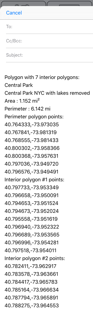
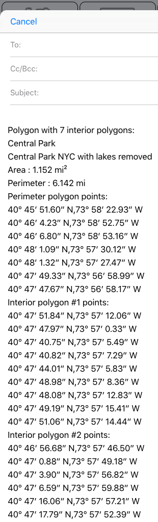
- Can now handle an infinite level of nested inner polygons. For example, you want to measure land area and remove lakes, but there are lakes with islands in them, and some islands have lakes on them. See the 'Utah example'
- Better settings page:
- Previously, several settings properties only allowed the user to enter a single value, which had to be deleted to use another value.
- Now, several values can be saved and selected as needed without the need to re-enter the value each time.
- More setting options:
- Hide status bar. Defaults to yes.
- Default name for new paths. Select none to use date and time.
- Default name for new polygons. Select none to use date and time.
- Allow map rotation. Defaults to no. Often when zooming the map, it will accidentally get rotated so that North is no longer up.
- Inner polygons must be within perimeter. Defaults to yes. Disable this to draw to polygons like the 'New Zealand' example.
- Can now import a kml file containing single locations (like the file exported from My GPS Coordinates Pro), as a path, polygon, or inner polygon.
- Added reverse geocoding on the map page. Tap the map to get nearby addresses.
- Some layout changes for things that were just too small on a phone. Namely, the cells in the shape list are taller, the map scale indicator is larger, the buttons on the edit shape popup are large enough to click without frustration, and the tutorial/instructions that explain what each button on the map page does has much larger font.
- Removed the 'add pins with finger swipe' function, since it didn't work very well.
- Corrected some .kml formatting issues, mainly the 5 XML special characters ' " > < &
- Kml files are now named with a human readable time stamp in the form of YYYY.MM.DD_HH.MM.SS rather than milliseconds since 1970. Example:pathsAndPolygons_2017.09.27_18.48.58.kml instead of pathsAndPolygons_1482459732.kml
- Faster application open time and tab switching. Shapes are kept in memory rather than reading from the database and only saved to the database when needed (The slow I/O work is done on a secondary thread). Lazy load some button icon images. Much faster font scaling algorithm (though this only took a few milliseconds before, it's used almost everywhere and is at least 10 times faster)
- Several bugs and memory leaks fixed.
- Removed Catalan language.
- Removed support for iOS 7.x
User guide
Navigation bar

Map Page
First, let's walk though every button on the vertical bar:

Show tutorial:

Show / hide top search bar:

Reverse geocoding:

Map mode toggle group:
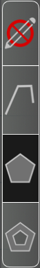
No edit mode:

Path mode:

Polygon mode:

Inner polygon mode:

Edit shape or point:

Delete shape or point:

Show / hide slideout bar:

Next, let's walk though every button on the slideout bar:
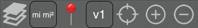
Map layer. Cycles through 3 states.

Units button
Tap: switch between long units and short units
Long press/double tap: opens popup to change units
Map pin toggle: hide/show all map pins
Verbosity button
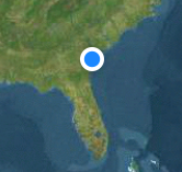
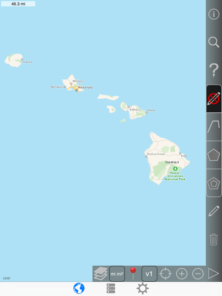
v1: show in bottom corner only
polygons:name, area, perimeter
paths:name, length
v2:
polygons:v1 + displays total area and total perimeter for polygon near polygon center
paths:v1 + displays total length near end pin
v3:
polygons:v2 + length for each outer polygon edge
paths:v2 + cumulative distance for each pin
v4:
polygons:v3 + length for each inner polygon edge
paths:same as v3
Note that v2,v3,v4 will make map rendering slower with complex shapes. If the map is slow to pan and zoom, consider switching to v1
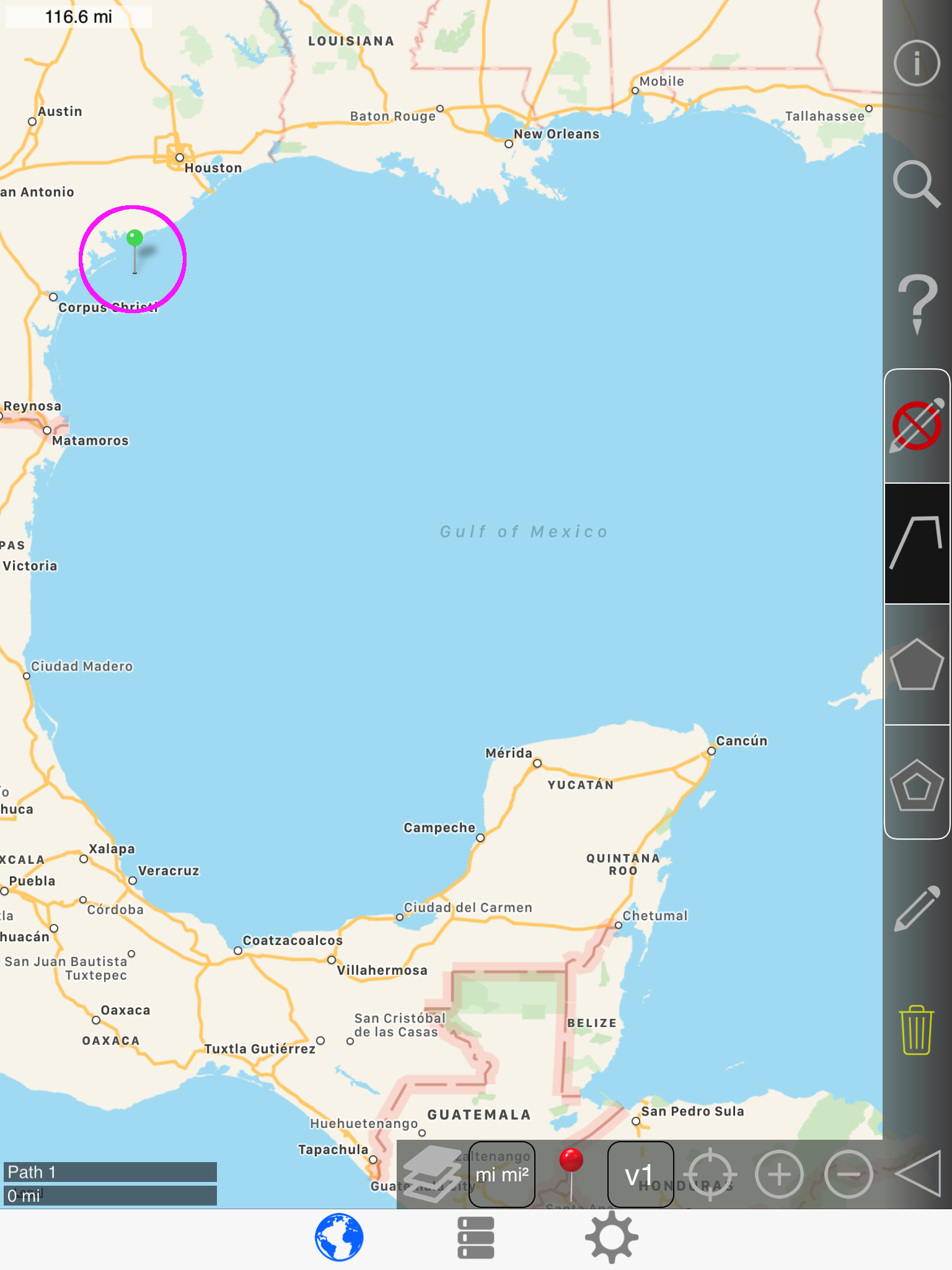
Current location
tap: center map on current location
long press or double tap: add pin at current location.

Zoom map in / out:
List Page
How the List page may appear:
Note that only checked shapes are shown on the map and exported when you share via email or save a kml file.
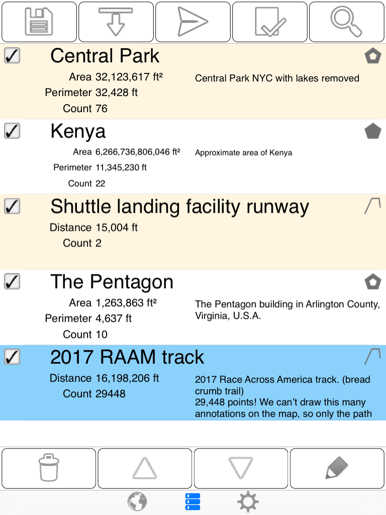
First, let's walk though every button on the top bar:
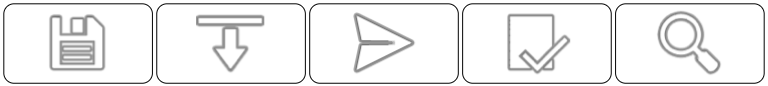
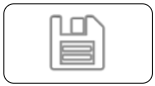
Save (export kml file) to cloud:
Note that you must have a cloud service set up on the device. The most common cloud services are Dropbox and iCloud.
Import kml file from cloud:
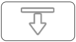
Also, you can long press this button for 4 seconds to open a form that you can paste the contents of a kml file into.
Send / share:
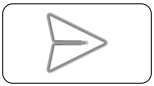
Opens this popup to email, text, or share with another app.
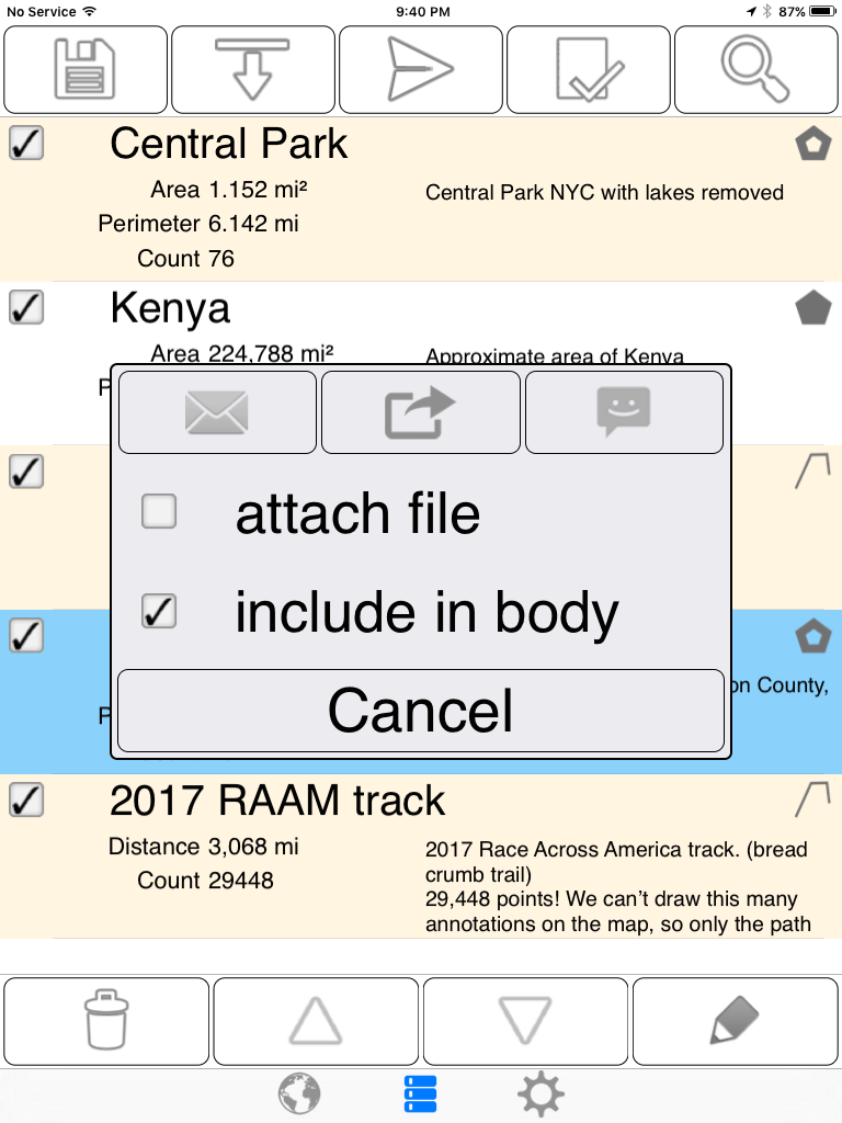
Shows or hides 4 buttons.

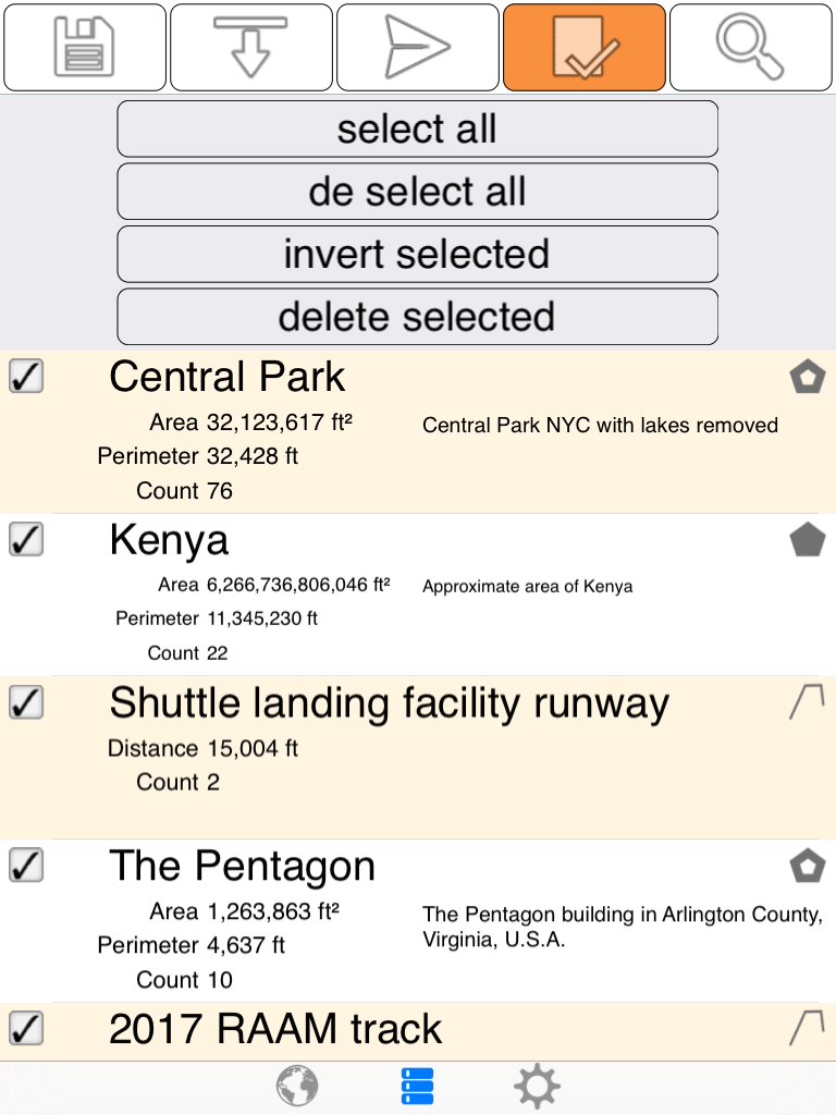
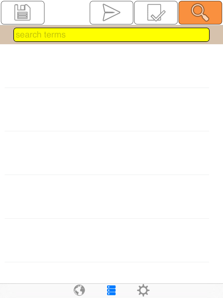
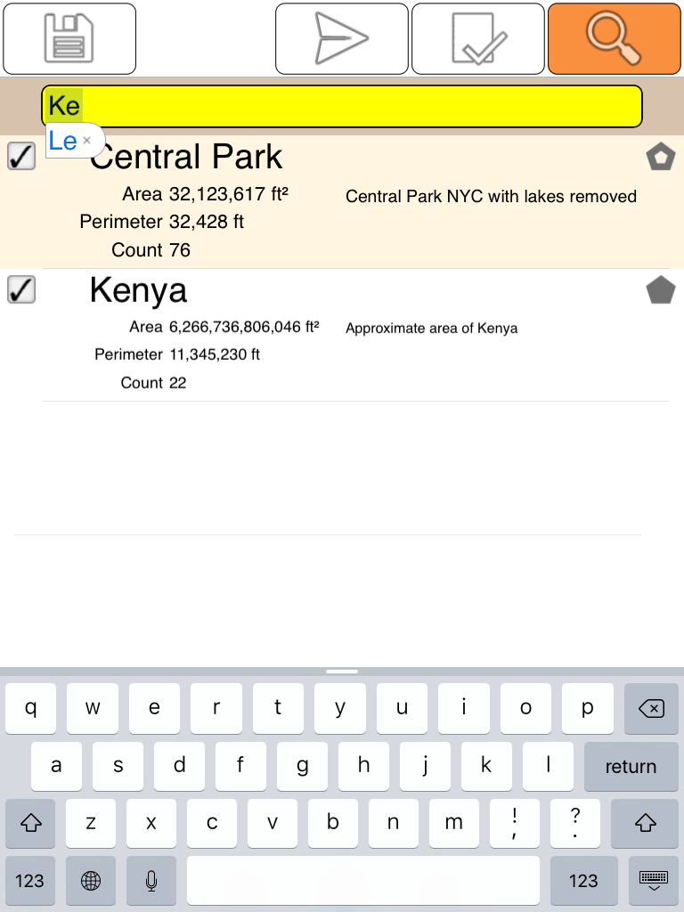
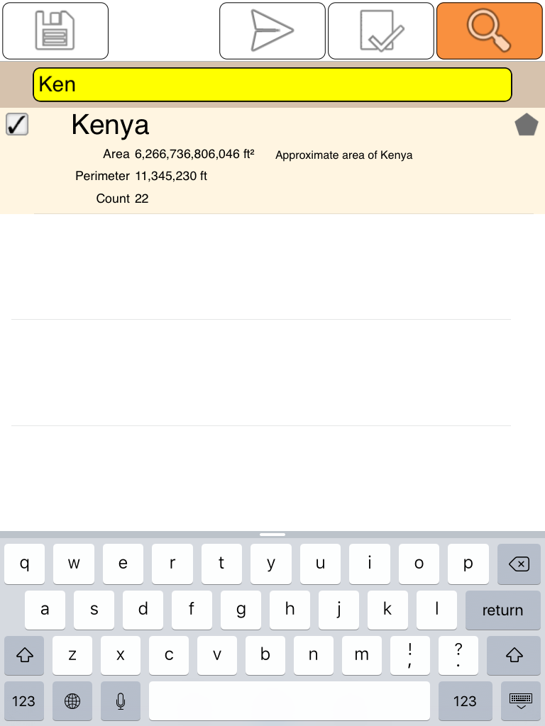
Search:

The bottom row of buttons acts on the selected (blue) cell.
If nothing is selected, this will disappear.

Settings Page
How the Settings page may appear:
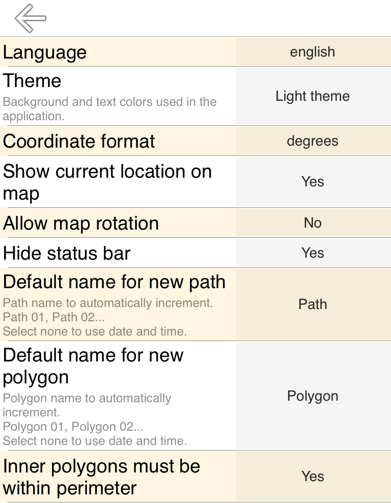
Language
This defaults to your device's language preference. If you are a non-native English speaker and you are reading this, you may want to set to English since the translations are probably are not the best.
Theme
- Light background / dark text
- Dark background / light text
Coordinate format
- Degrees
- Degrees, Minutes
- Degrees, Minutes, Seconds
Note that this can also be changed on the 'Edit Point' popup
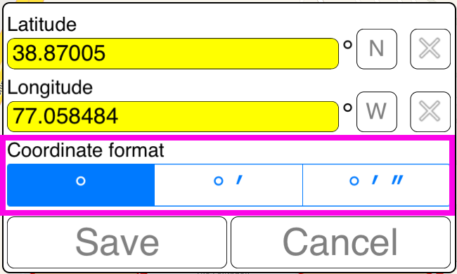
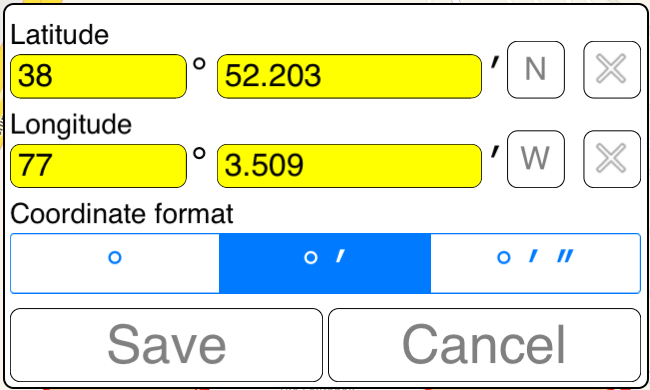
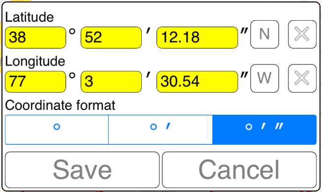
Other than this popup, the only other place in the app that this affects in the message body:
Show current location on map
That's the blinking blue dot
Allow map rotation
Lock map to North = up
to prevent something like this:
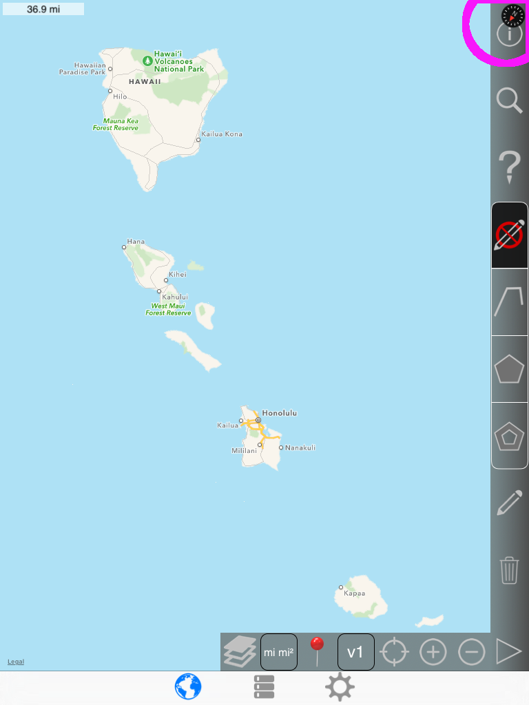
Note that you can also tap the compass icon in the top right corner to restore North = up
Hide status bar
That's the bit up top that shows the time and battery level.
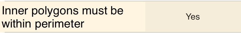
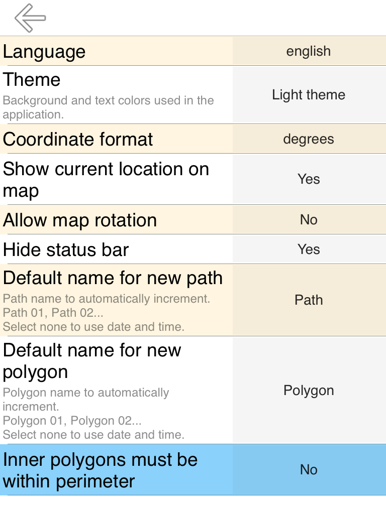
Inner polygons must be within perimeter
Inner polygons don't necessarily need to be inside the 'outer' polygon.
For instance, in the New Zealand example, the North island is the outer polygon and the 2 southern islands are outer polygons.
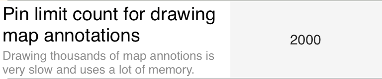
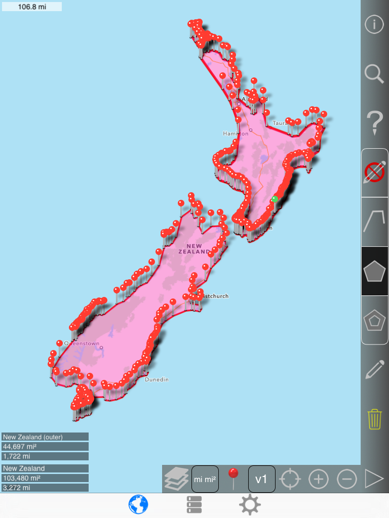
Pin limit count for drawing map annotations
Adding map annotations (Pins and distance labels) is somewhat expensive, and more than several thousand (depending on the device) will be slow.
Many thousands (depending on the device) will cause the app to exceed memory limits and crash.
Without this settings, it would not be possible to display the RAAM track that contains 29,000+ points.
Only the first and last pins are shown.
Drawing a Path
Switching from no edit mode to path mode
|
 |
-> |
 |
1st pin
2nd pin

3rd pin

4th pin

5th pin

| Notice that the trash icon |
 |
has a yellow tint |
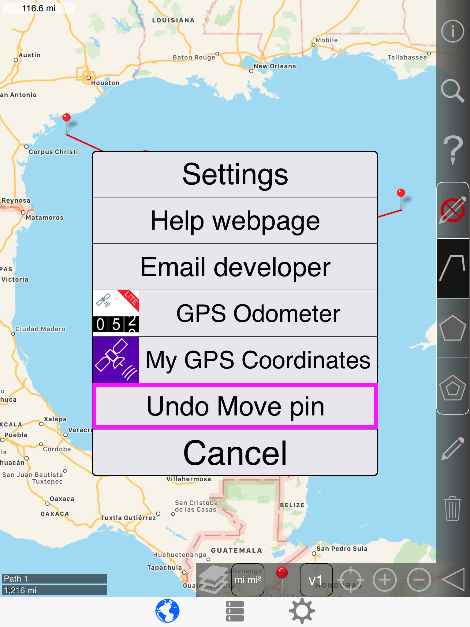
This indicates that the most recently created pin is selected, and tapping trash will delete that pin and select the most recently created pin.
Like so:

This action can be undone:

Here, a pin other than the most recently added is selected while the trash button is pressed. Notice that the trash icon is no longer yellow.
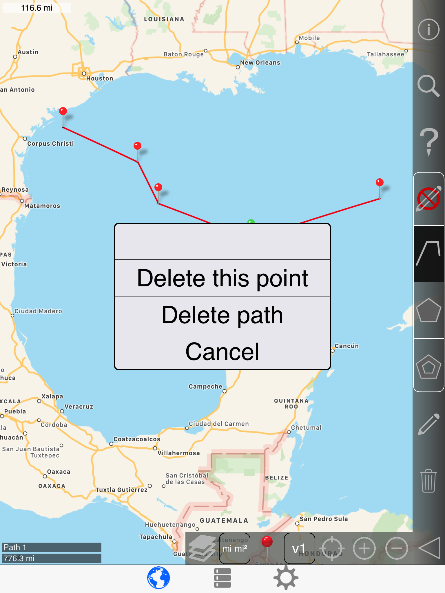
Selecting 'delete this point':
The most recently added pin becomes the selected pin.
Undoing the delete again
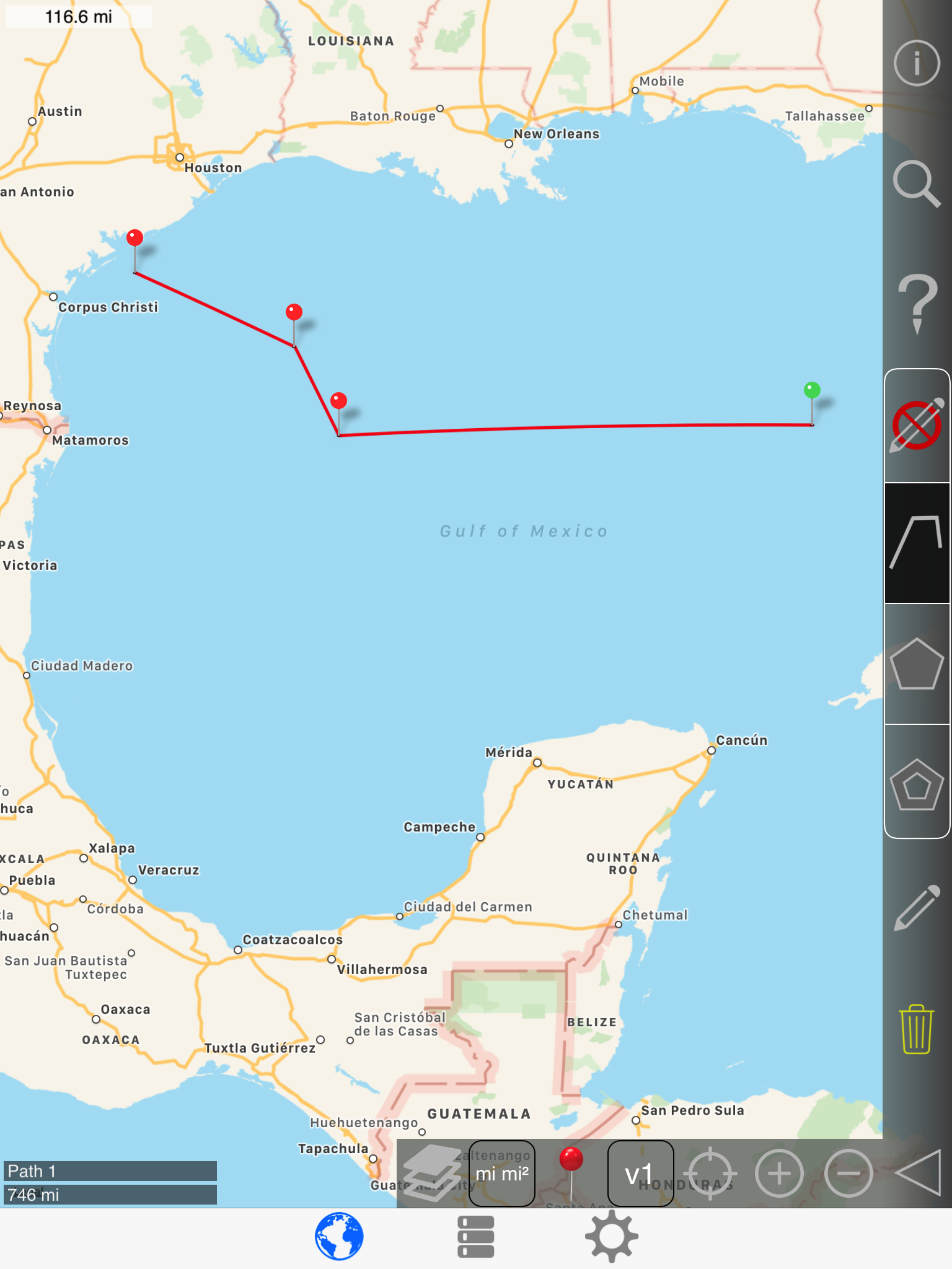
Dragging a pin

Press and hold the selected pin until it rises from under your finger.
Now drag the pin wherever you want:
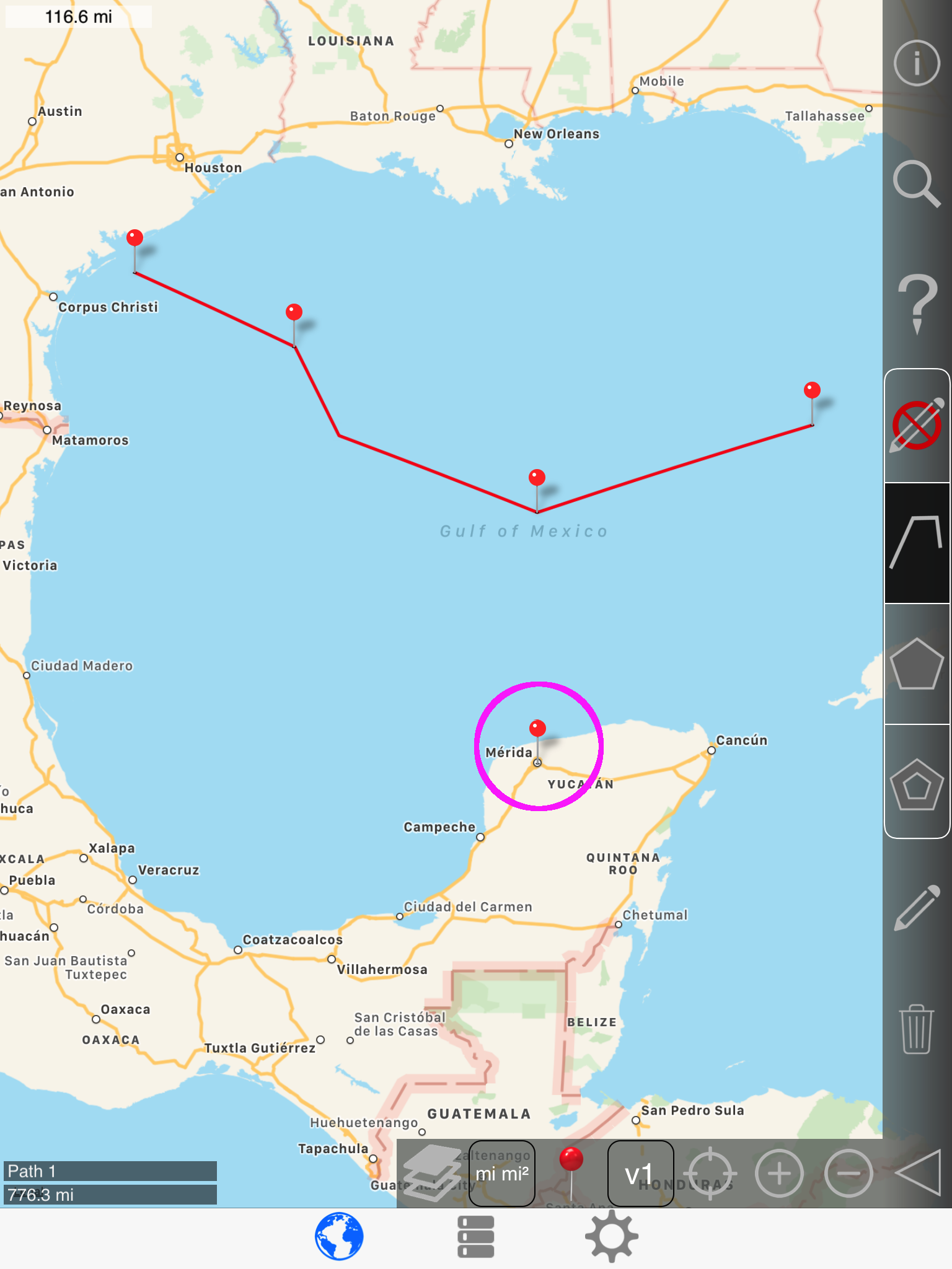
Release:
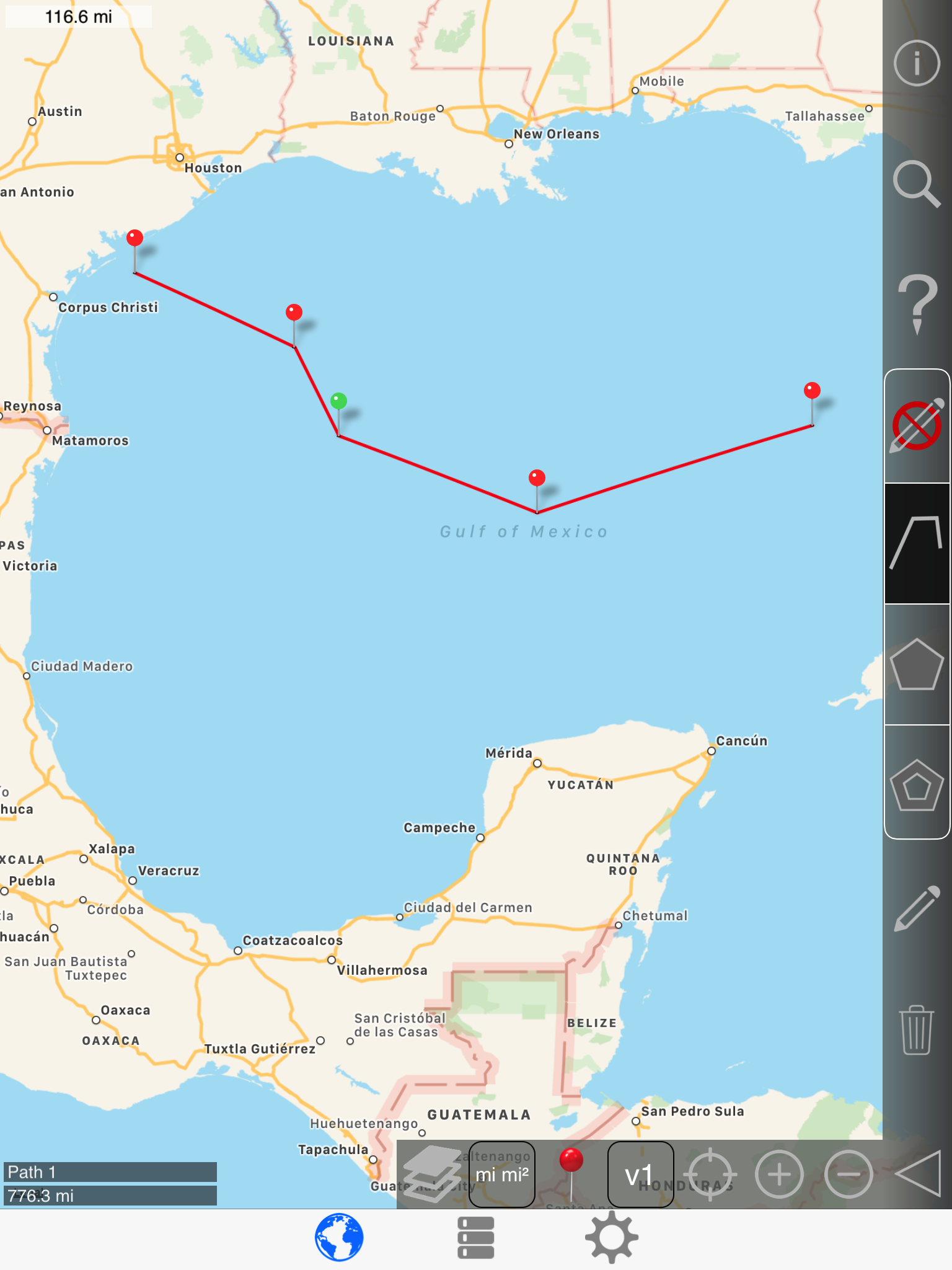
Undo again:
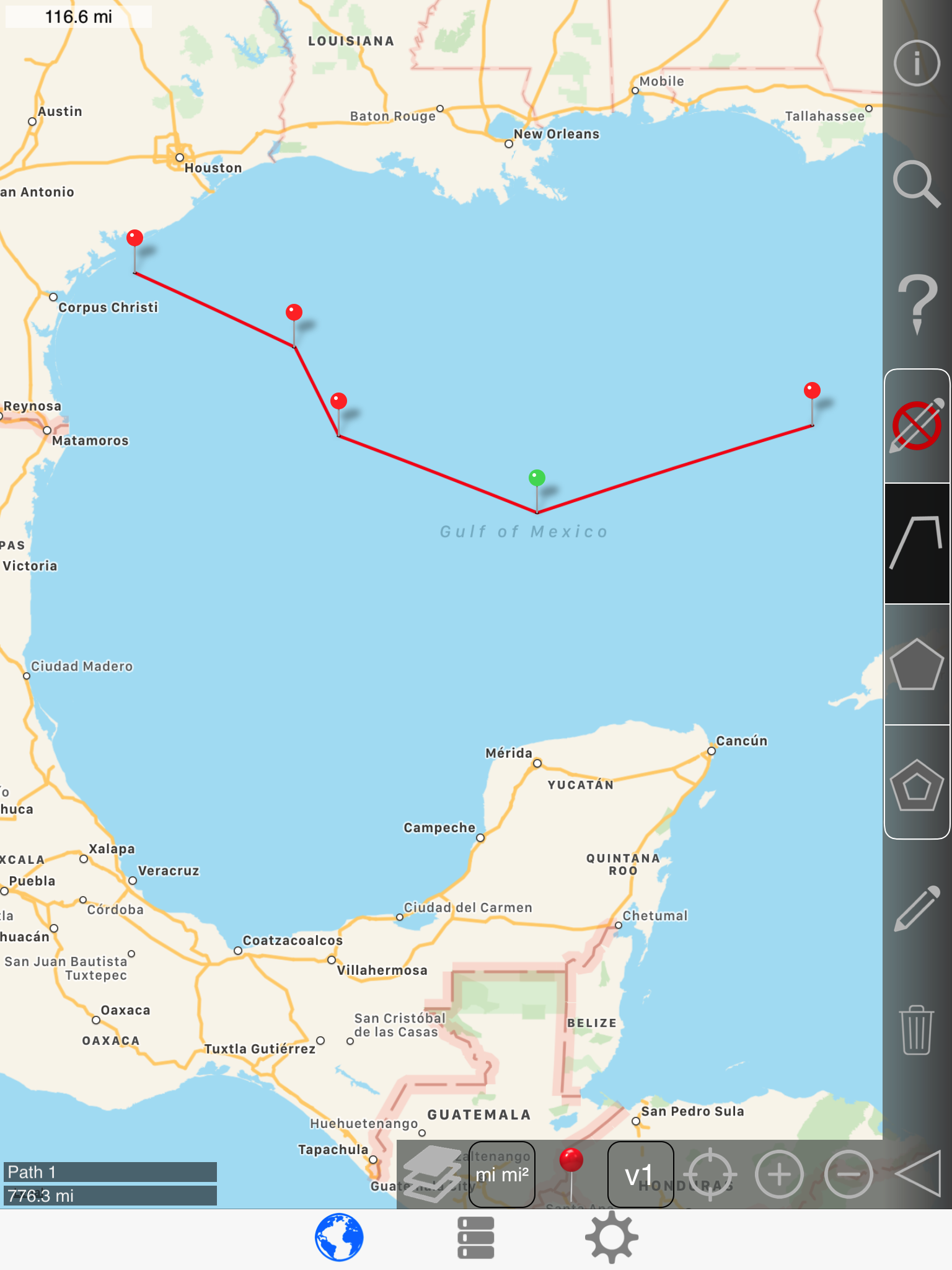
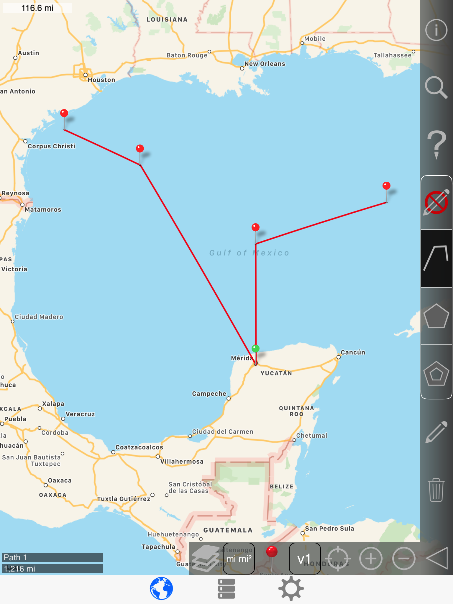
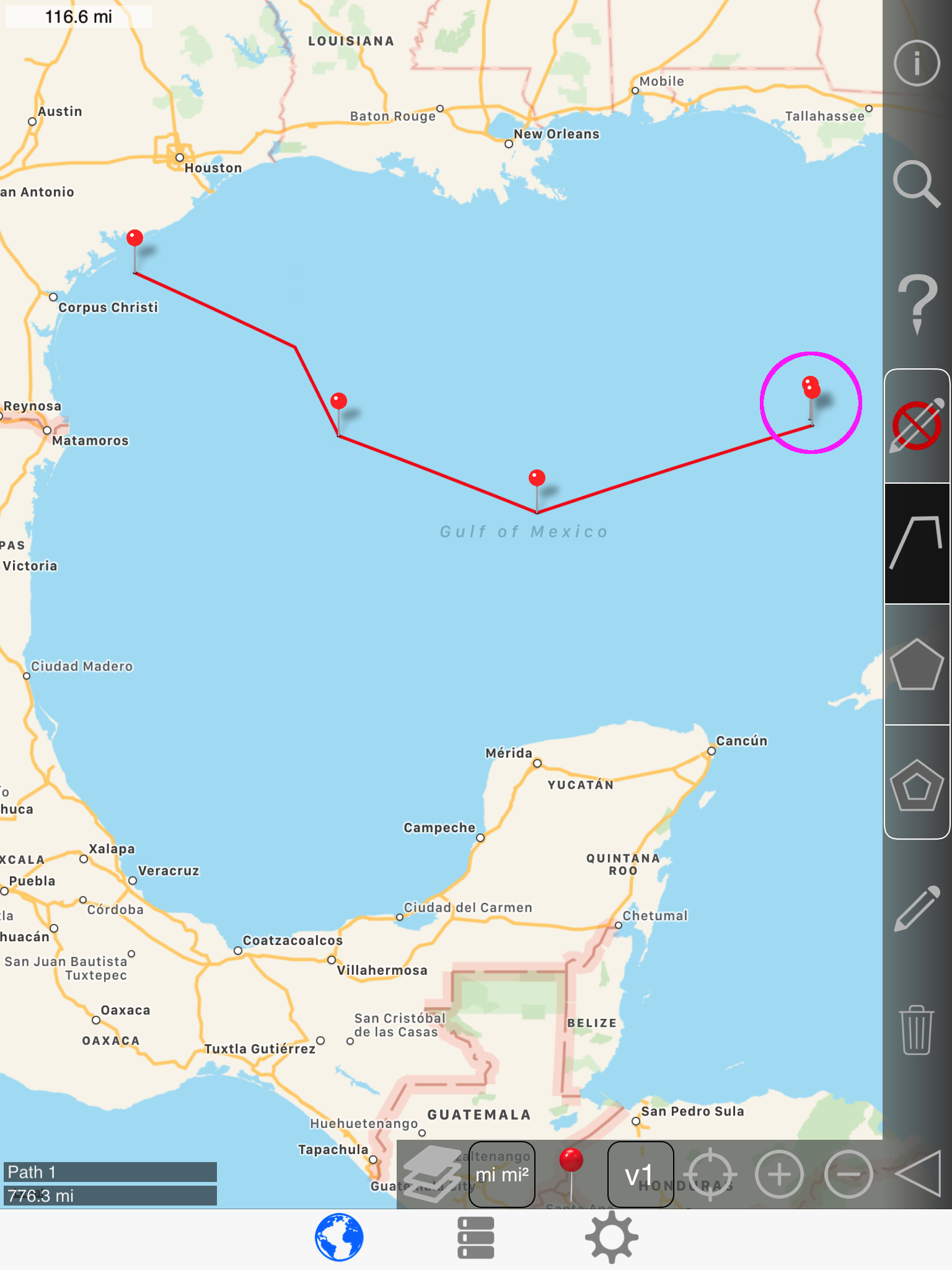
Swapping pins
Again, long pressing the selected pin will cause it to rise above your finger:
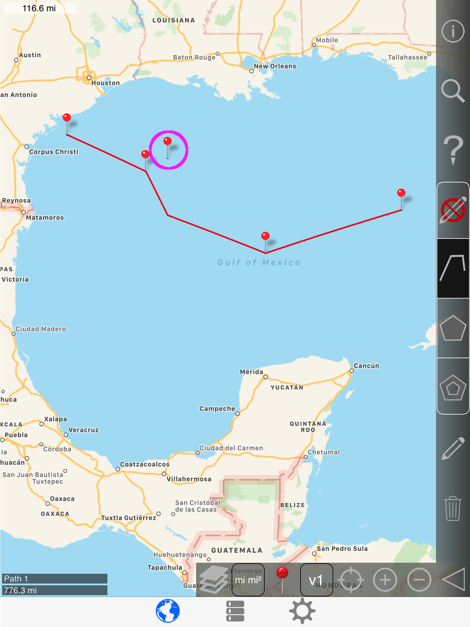
Drag the pin very near to another pin in the same path.
.png)
Release:
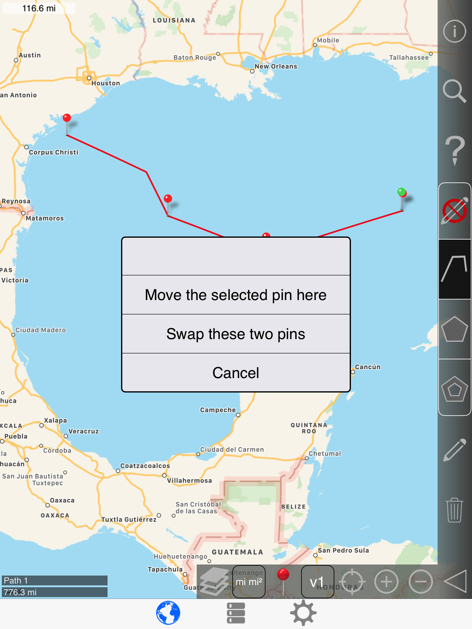
Selecting 'Swap these two pins'
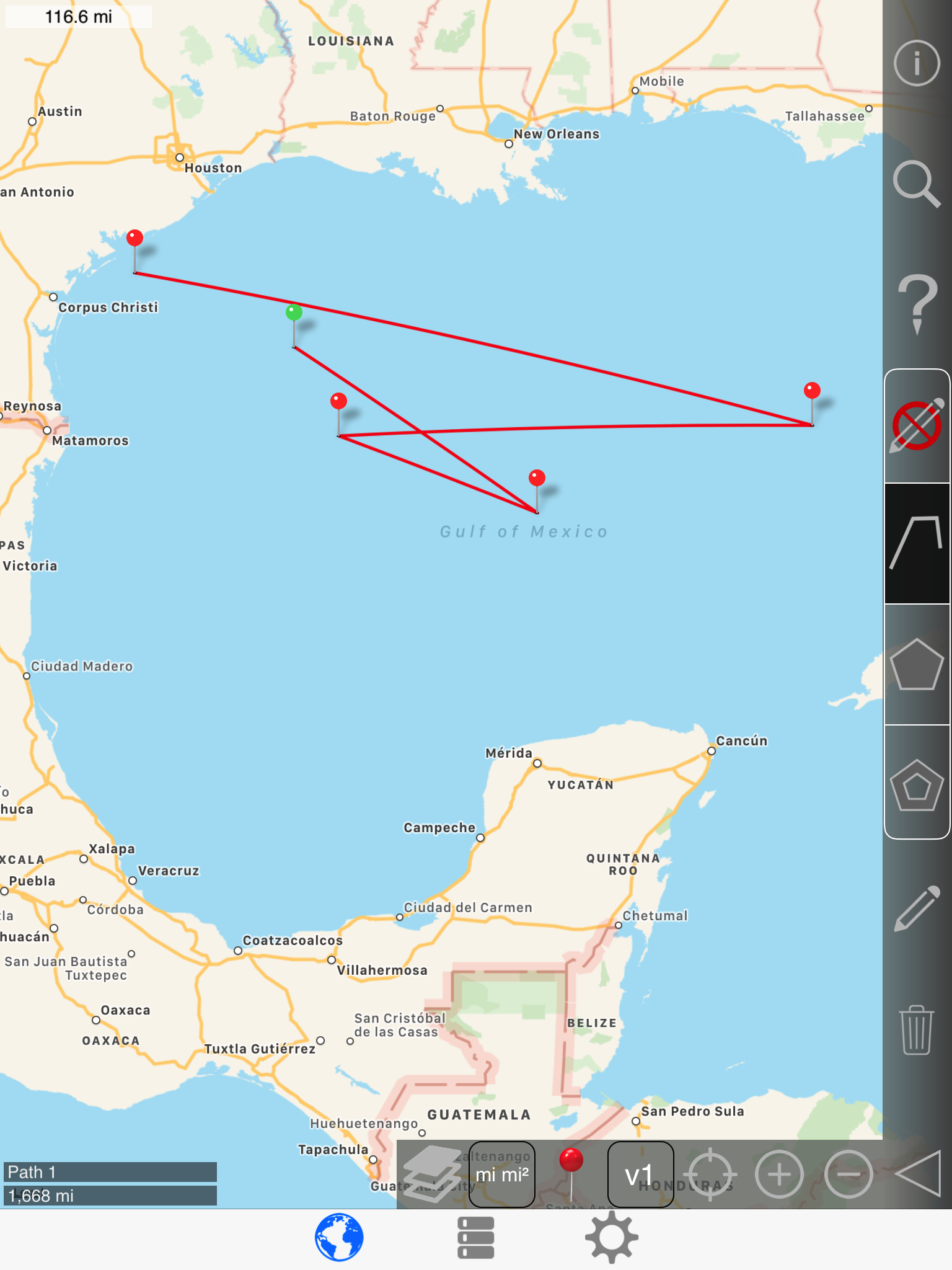
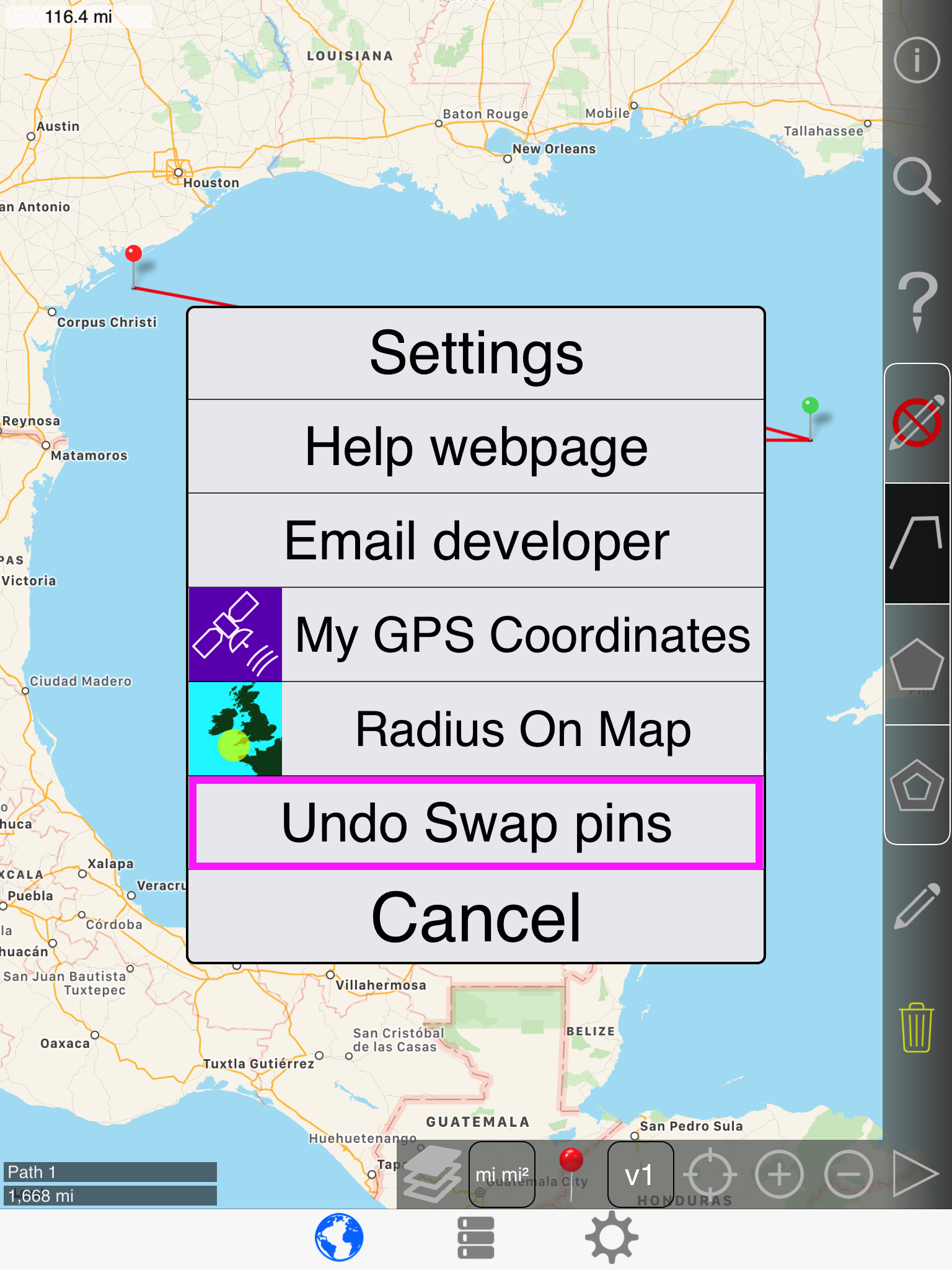
Undo again:
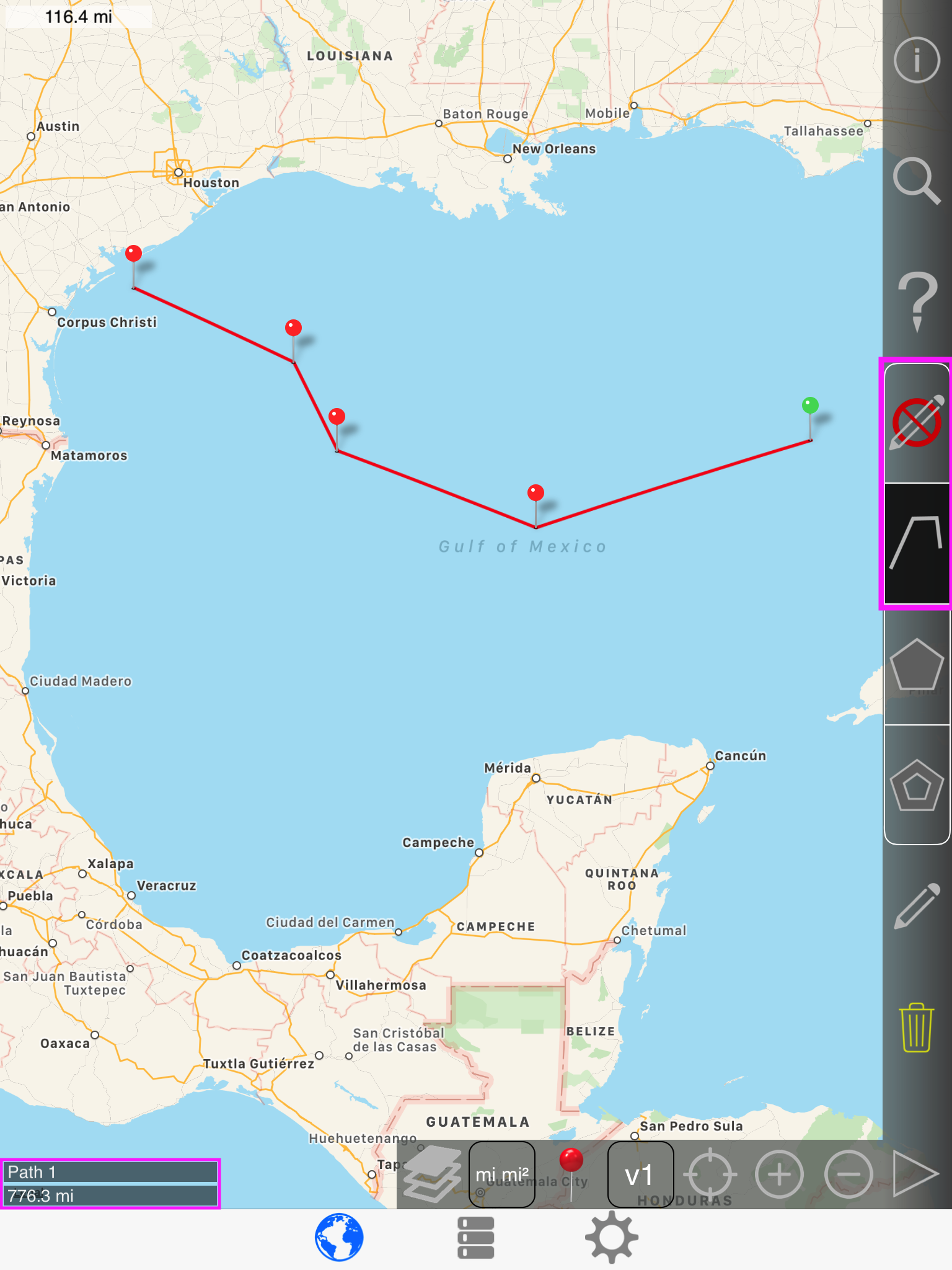
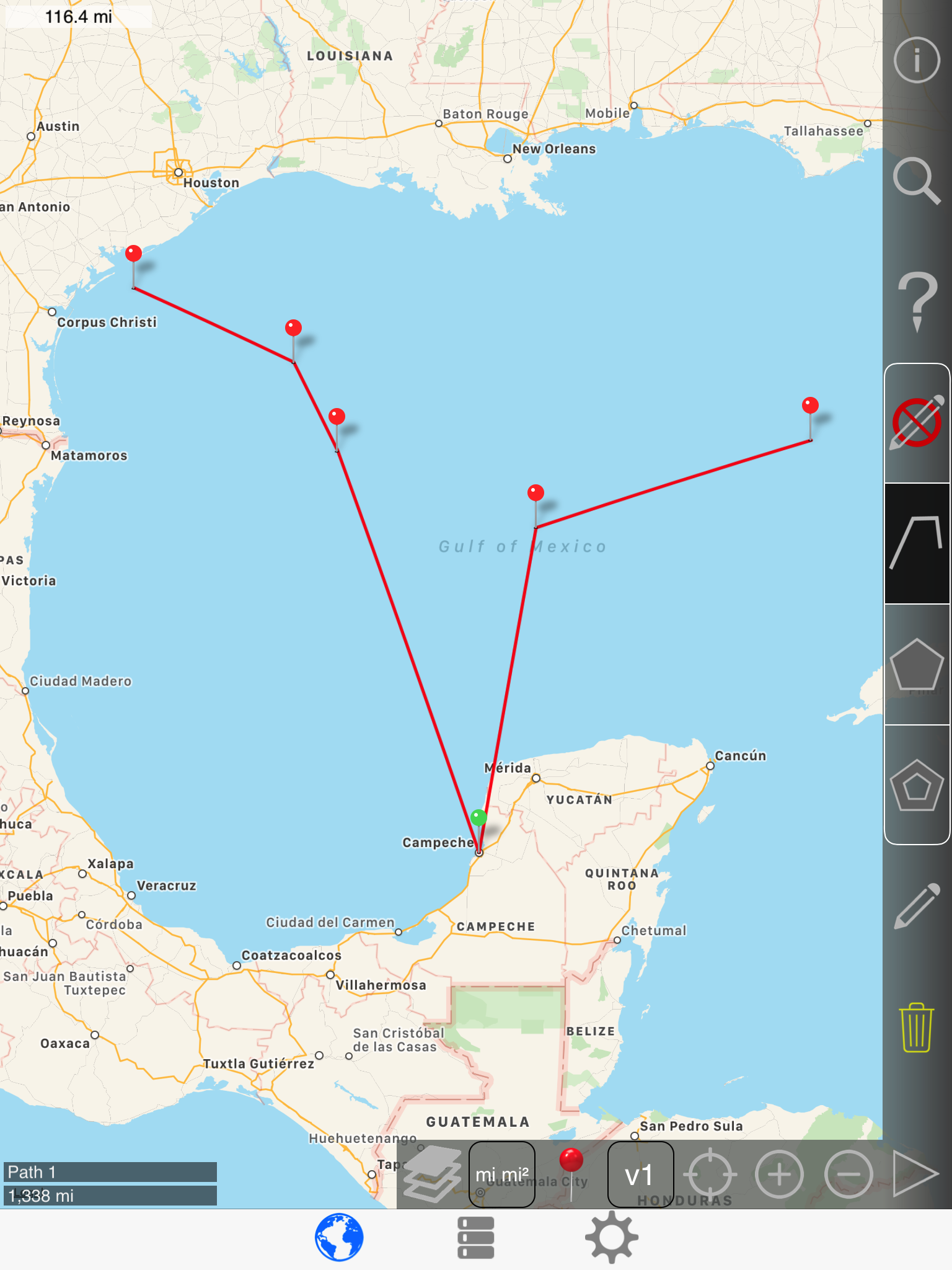
Inserting a point in a path
Normally, you want to add point to the end of a path, but sometimes you want to insert points into a path.
Long press to insert a point:
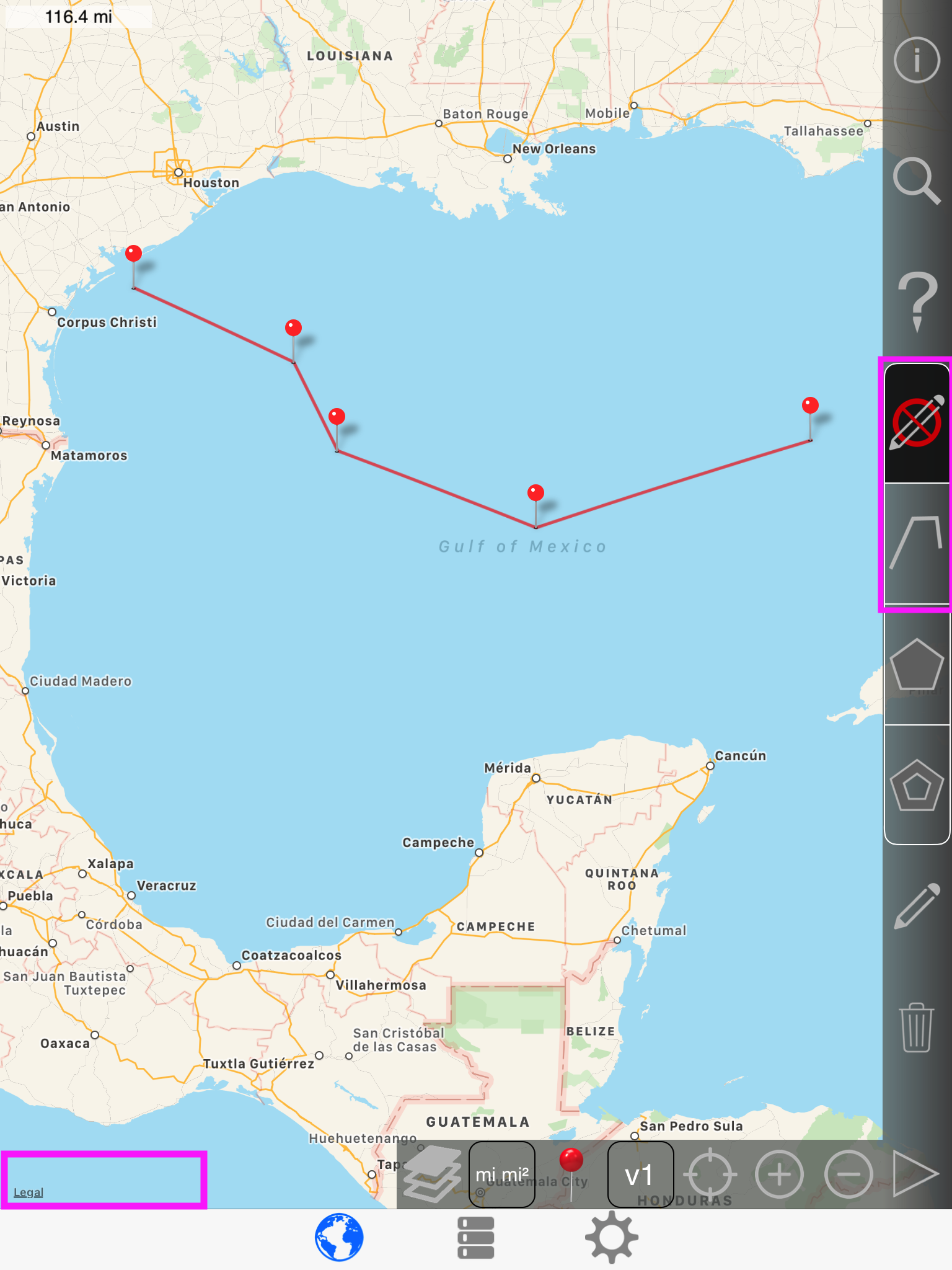
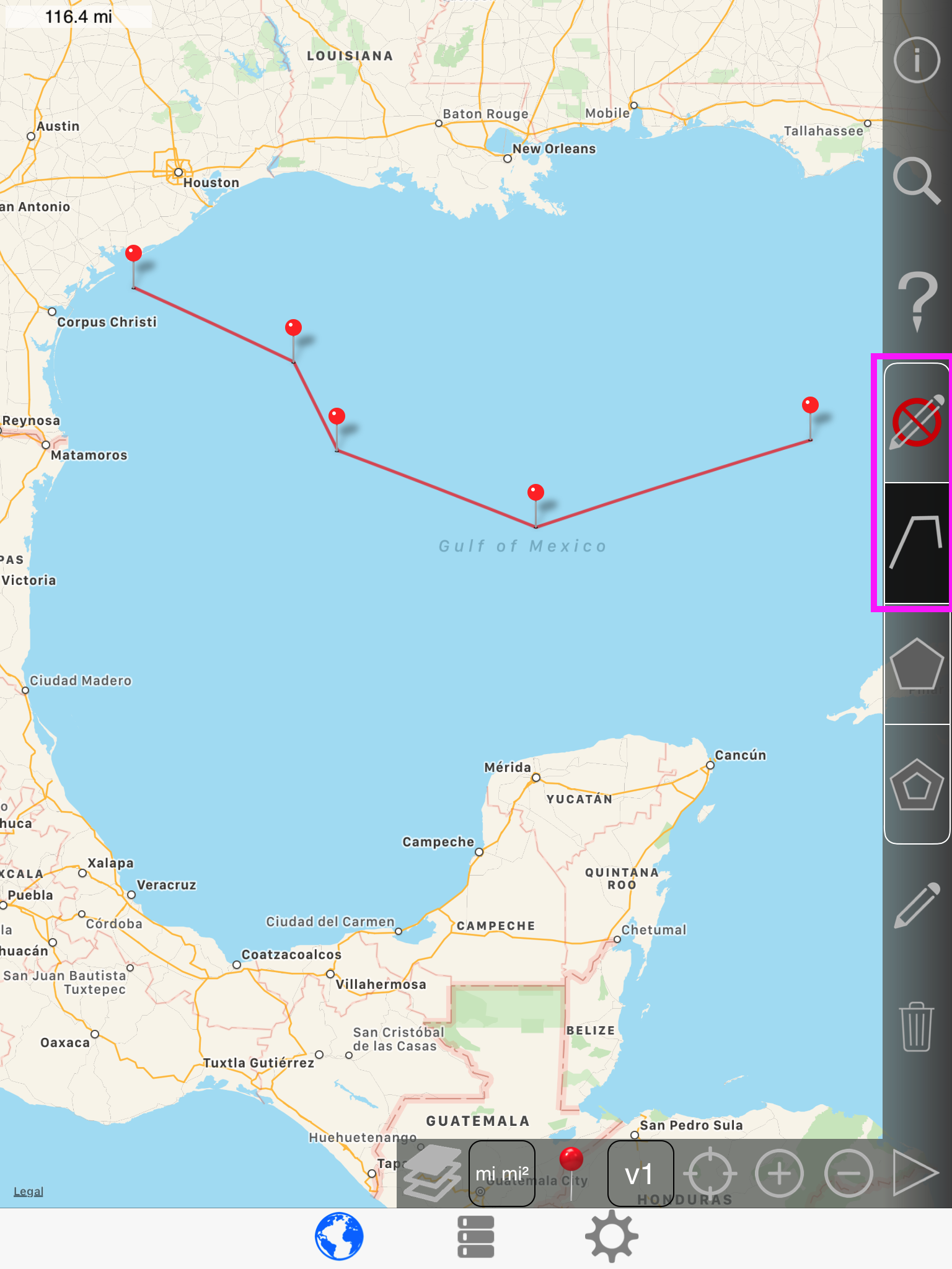
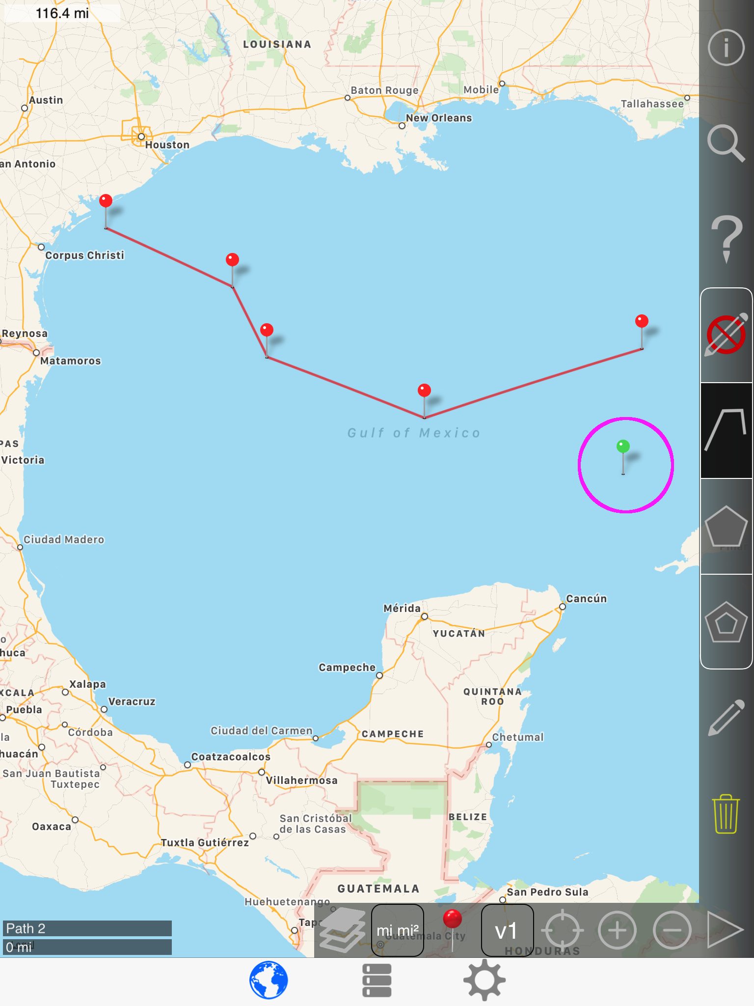
Drawing another path
To draw another path, you must de-select the current path
|
|
-> |
|
|
|
-> |
|
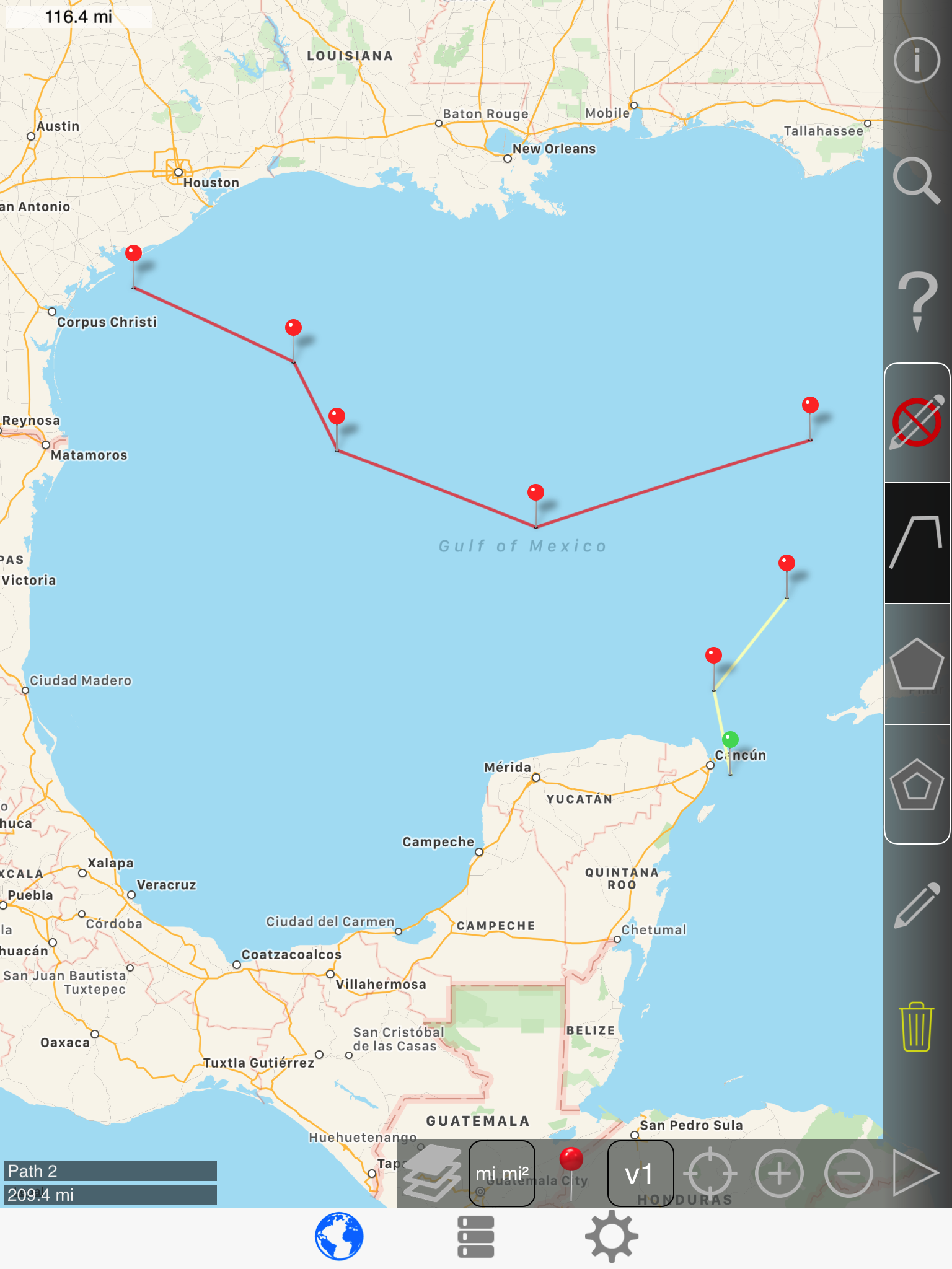
1st pin:
2nd & 3rd pins:
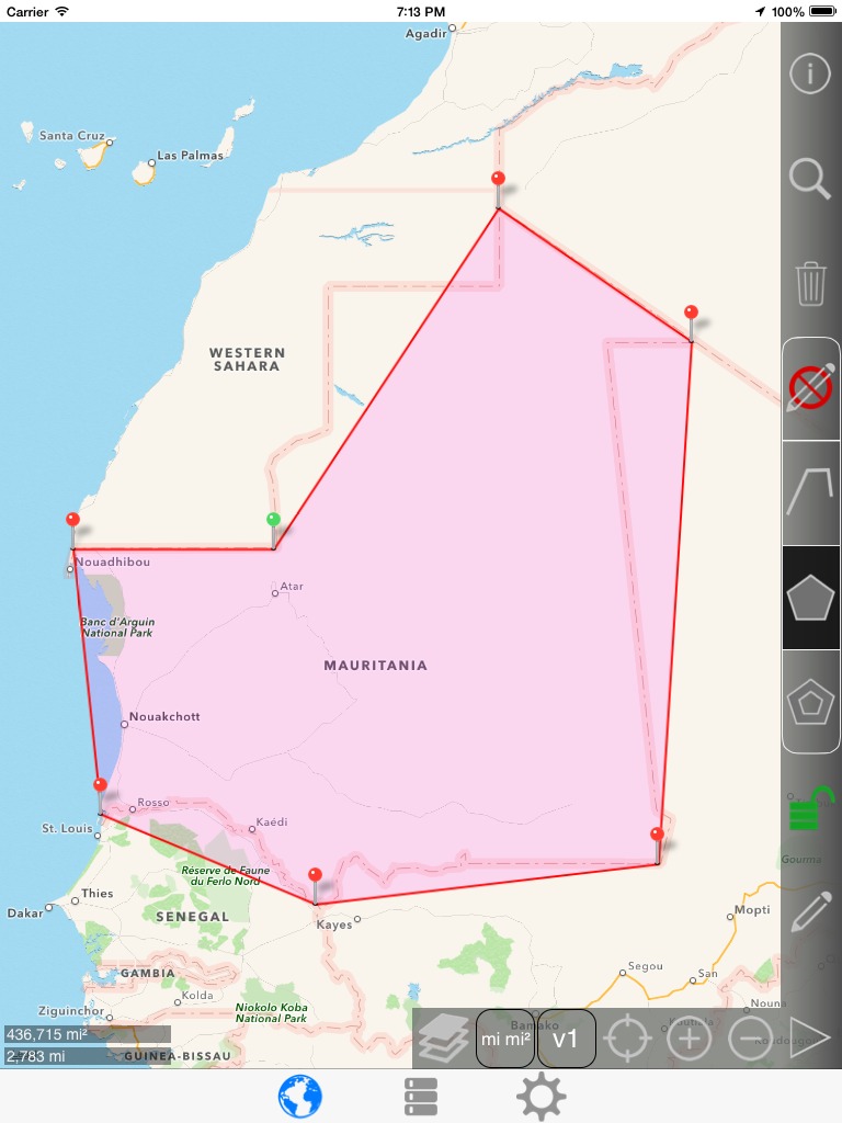
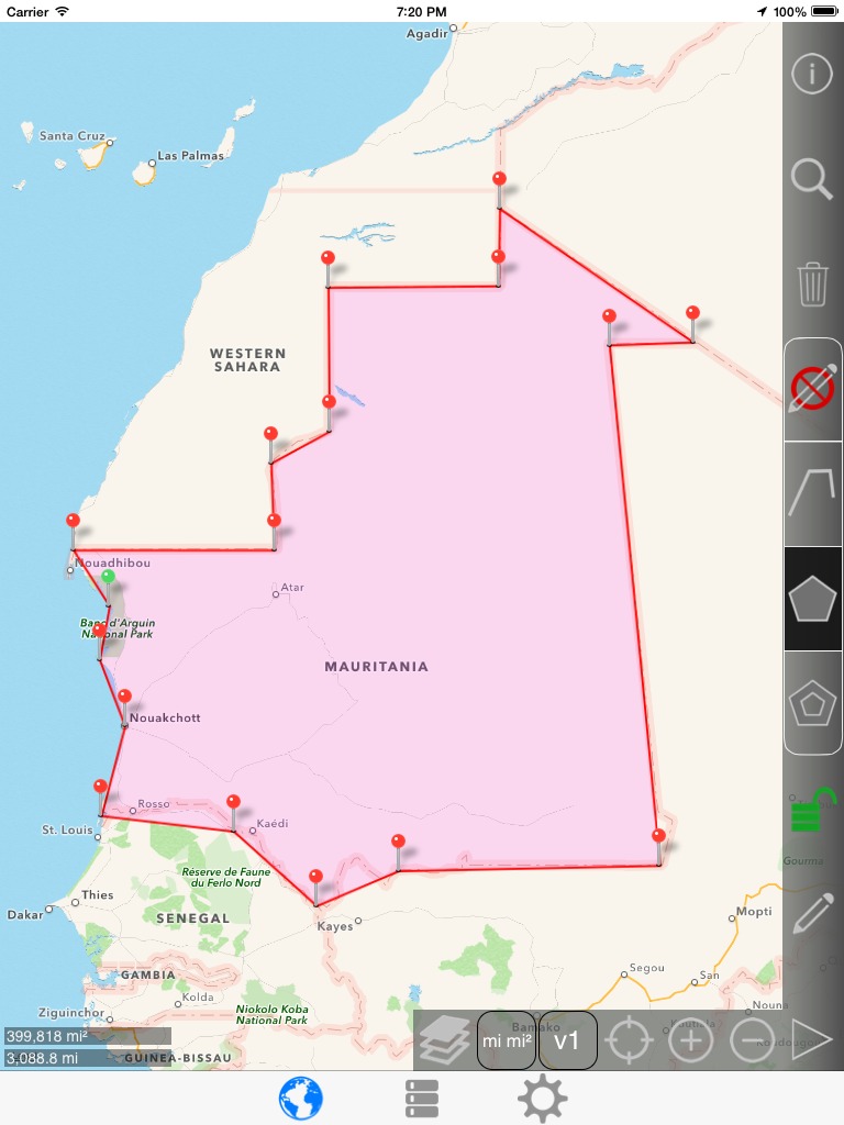
Mauritania example (simple polygon)
Drawing a polygon is more complicated than drawing a path. With a path, the newly added point is simply added to the end.
When you click to add a pin to an existing polygon, the pin is added to the closest side of the polygon.
For this example, the goal is to draw a polygon that roughly estimates the area of the West African country of Mauritania.
Start by drawing a rough overlay of the entire area.
NOT like this:
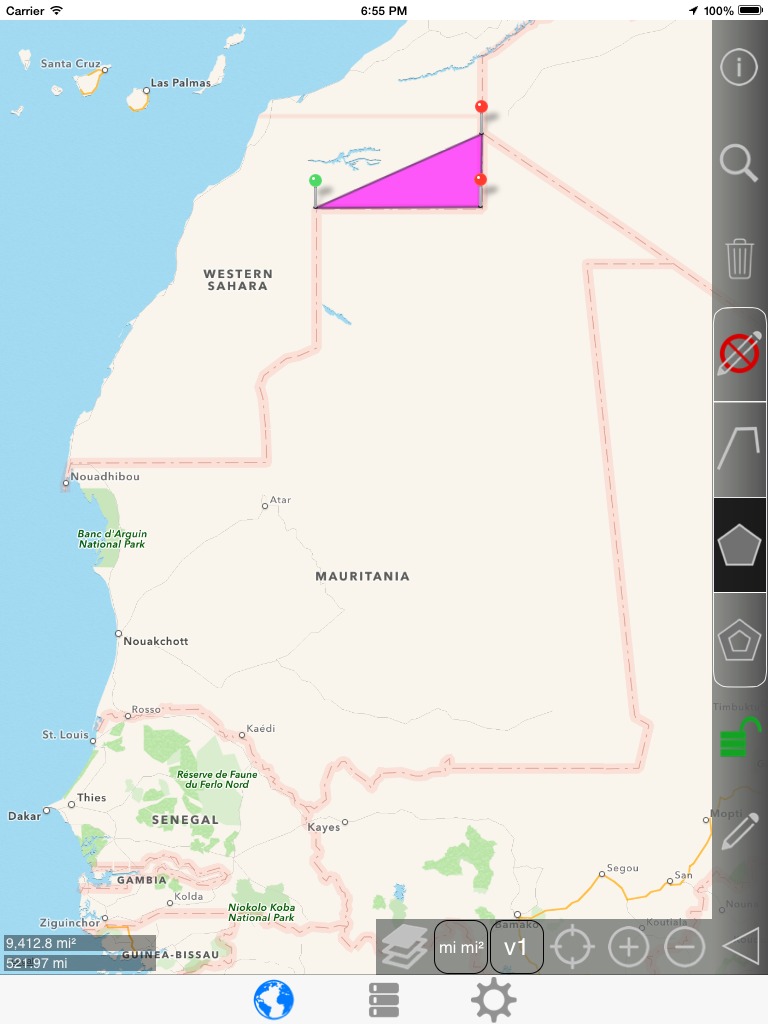
Like this: (Note that you can always drag a pin after it is added)
Adding a new pin: (Green pin is the new pin)
Adding a new pin...
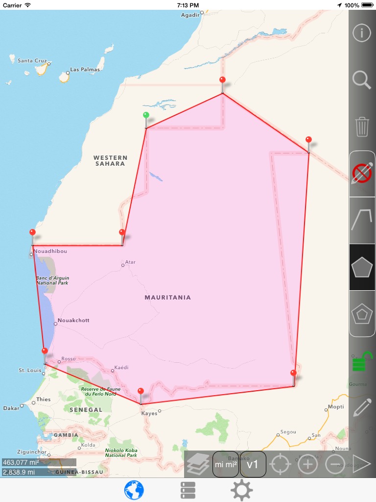
Adding a new pin...
Notice that the pin was added where we want it, but the line is not being drawn like we want it to be. Remember that the pin is added to the nearest line, which in this case was the Northeast border.
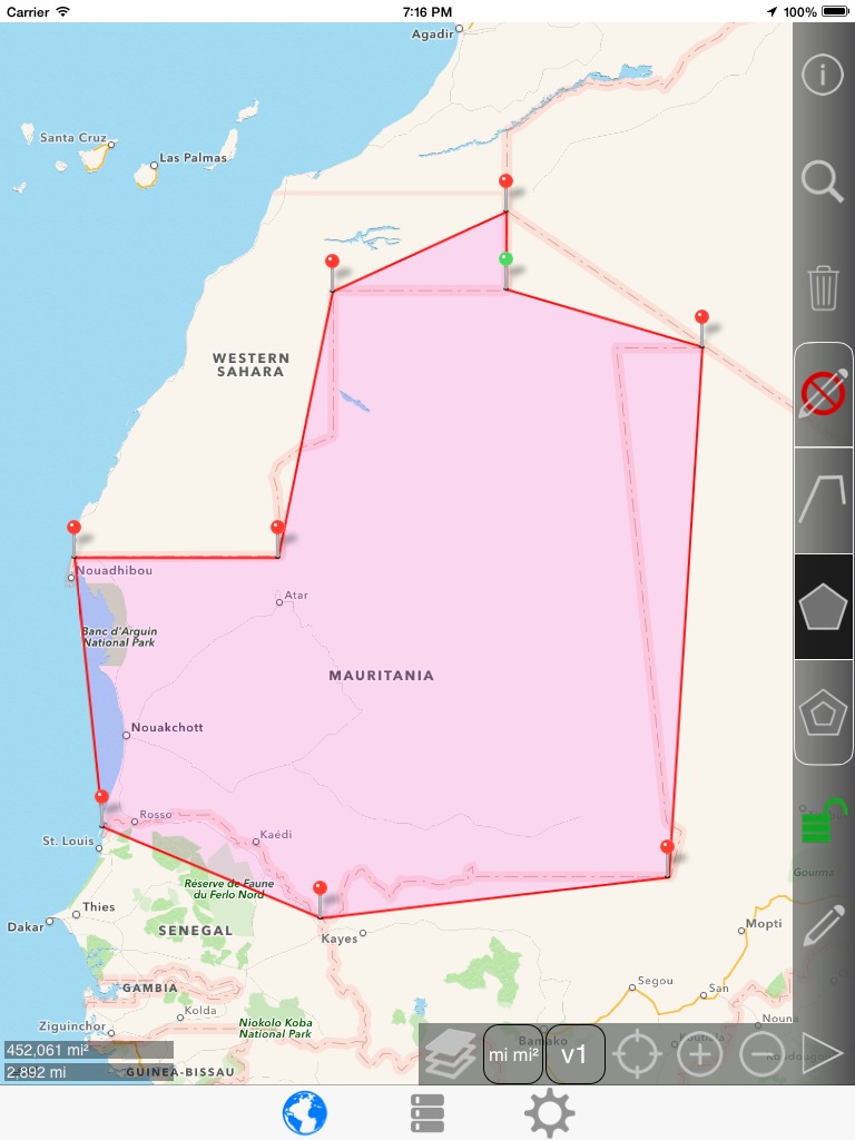
Clicking the trash button removes the troublesome pin:

Adding the pin to the correct line. Now we can drag the pin were we want to put it. To drag the pin, long press on the selected pin and it will raise above your finger so that you can see it. Then drag the pin and drop it on the desired corner of the border.

After the pin was dropped in the desired place:

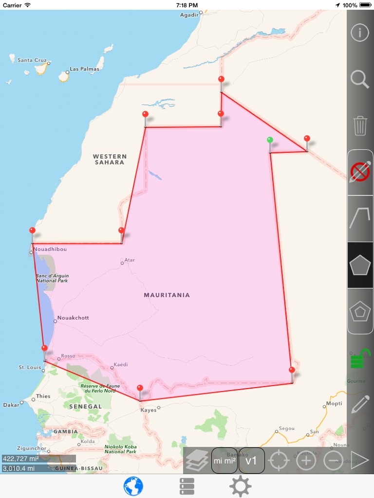
Adding a new pin...
Again, notice that the pin was added where we want it, but the line is not being drawn like we want it to be. Remember that the pin is added to the nearest line, which in this case was the Northeast border.
EDIT: Note that you can swap pins in the same polygon by dragging one pin onto another pin. This single action would replace the next 3 screenshots.

Clicking the trash button removes the troublesome pin:

Adding the pin to the correct line. Now we can drag the pin were we want to put it. To drag the pin, long press on the selected pin and it will raise above your finger so that you can see it. Then drag the pin and drop it on the desired corner of the border.

After the pin was dropped in the desired place:
Adding a new pin:

Adding a new pin:

Adding a new pin:

Adding a new pin:

Adding a new pin:

Adding a new pin:

Adding a new pin:
Adding a new pin:

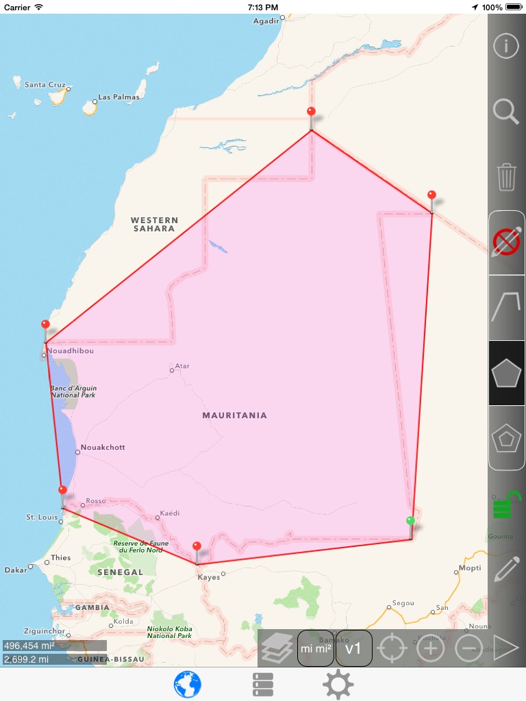
Changing verbosity to v3. Notice that the area and perimeter is displayed near the center of the polyon. The length of each edge is also displayed in smaller font.
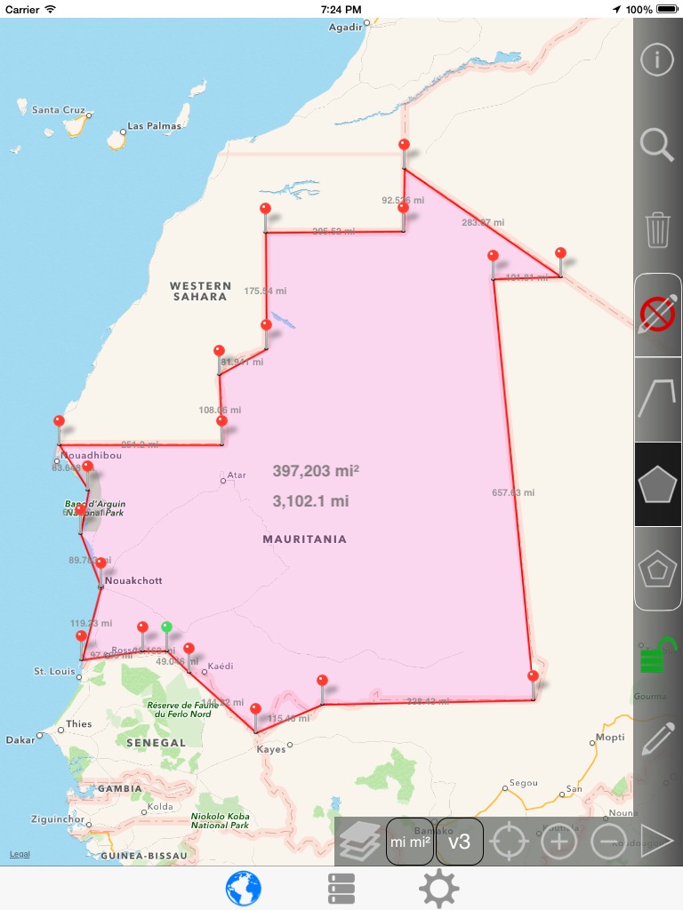
If you have trouble reading any number because it is covered by a pin or line, you can spin the map using 2 fingers and a spinning gesture. To snap the map back to North equals up, you can switch to the list page and then back to the map.
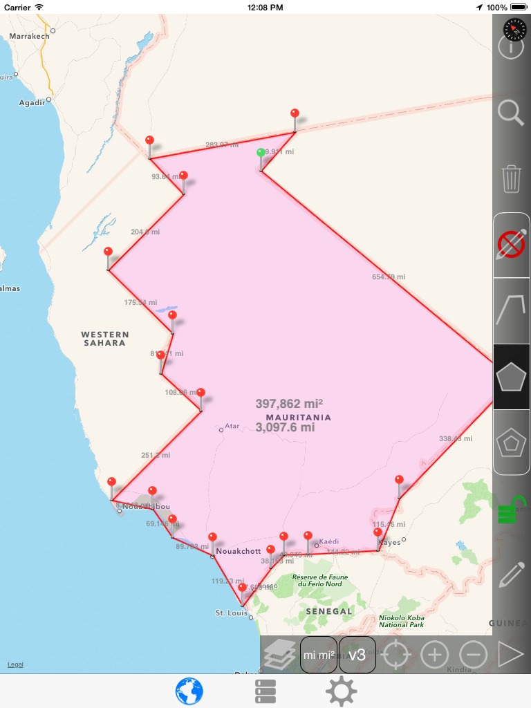
(This screenshot was taken at a later date, which is why the numbers are a little different. Rotating the map did not change the values.)
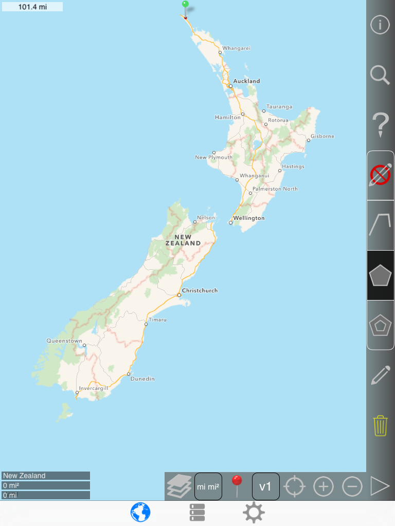
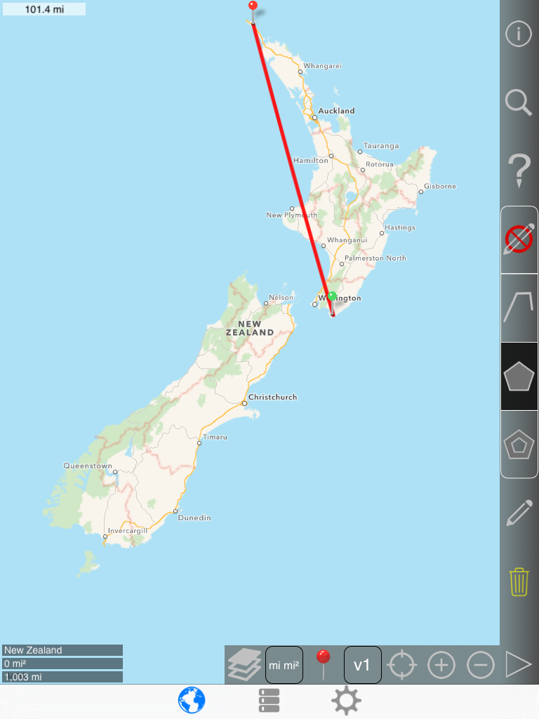
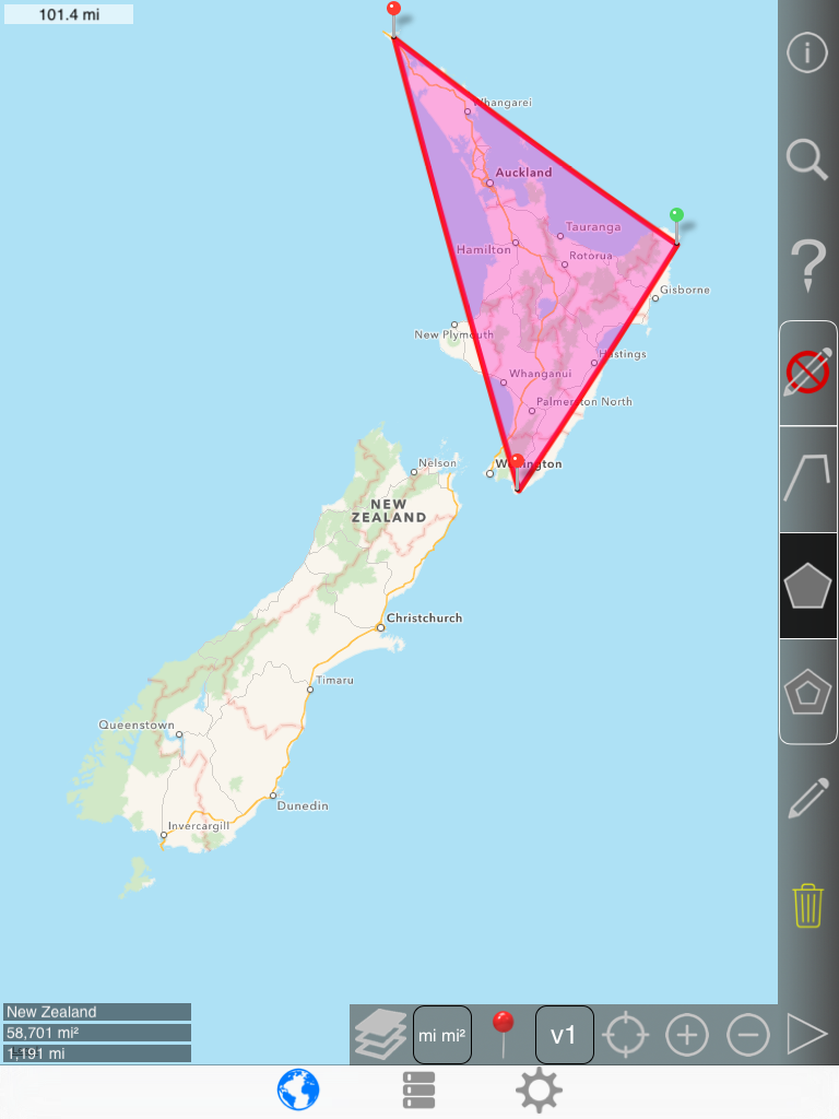
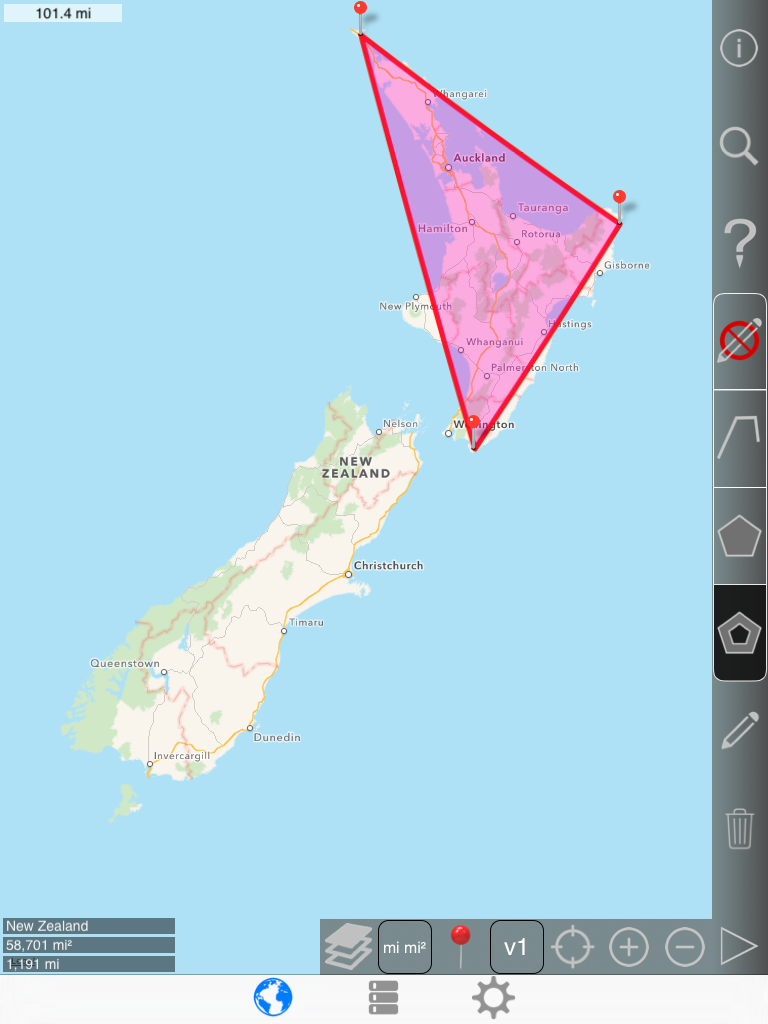
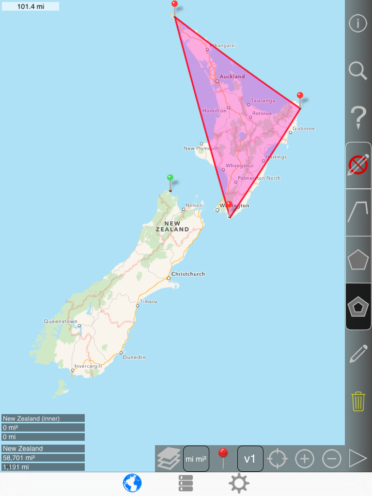
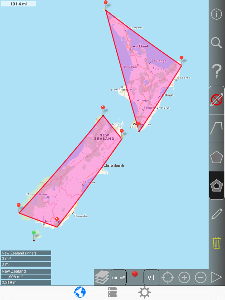
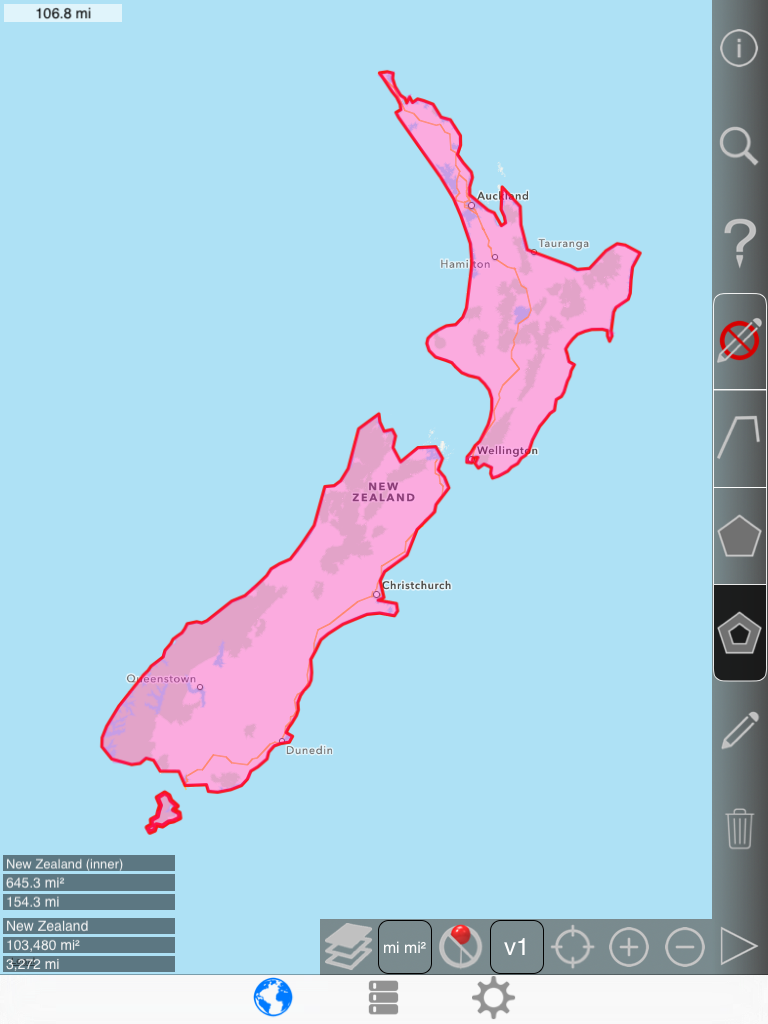
New Zealand example (several disjoint polygons)
For this example, the goal is to draw a polygon that roughly estimates the area of the 3 largest islands of New Zealand
Start by drawing a rough overlay of an island.
1st pin:
2nd pin:
3rd pin:
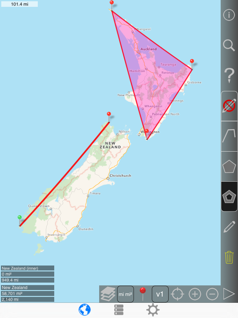
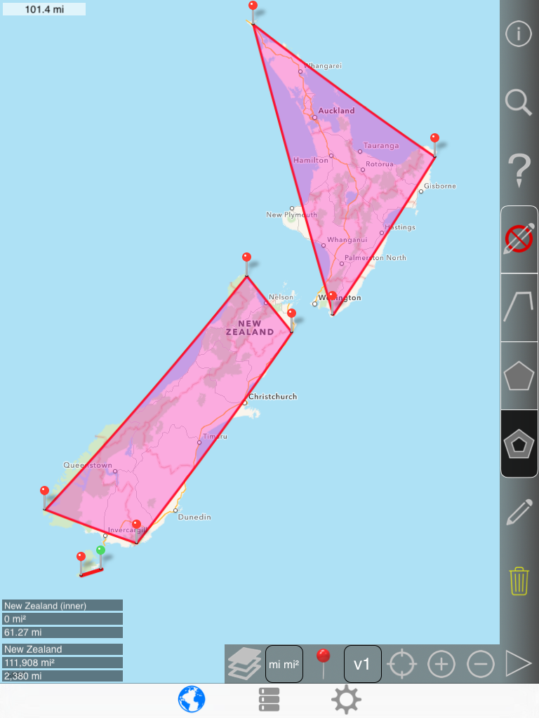
Next, draw a rough overlay of the South island.
Notice that the inner polygon icon on the right bar has been changed from outer polygon to inner polygon.
|
 |
-> |
 |
Error message when trying to draw an inner polygon:
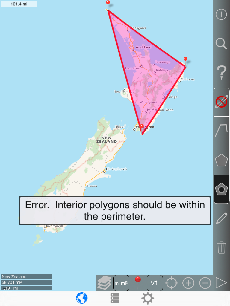
Open settings and change 'Inner polygons must be within the perimeter' to No:
Now the 1st pin can be added:
2nd pin:
3rd pin:
4th pin:
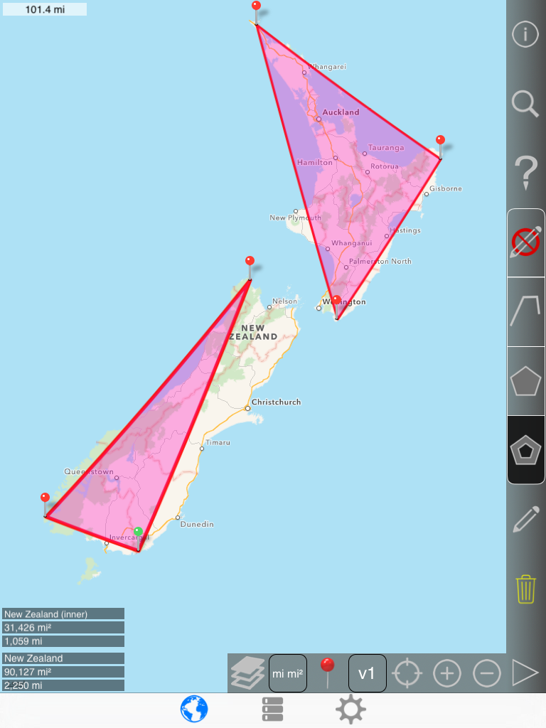
Next, draw a rough overlay of the final island.
| Toggle |
|
-> |
|
-> |
|
to create a new inner polygon with the next pin added (rather than adding to the existing one) |
1st pin:
2nd pin:
3rd pin:
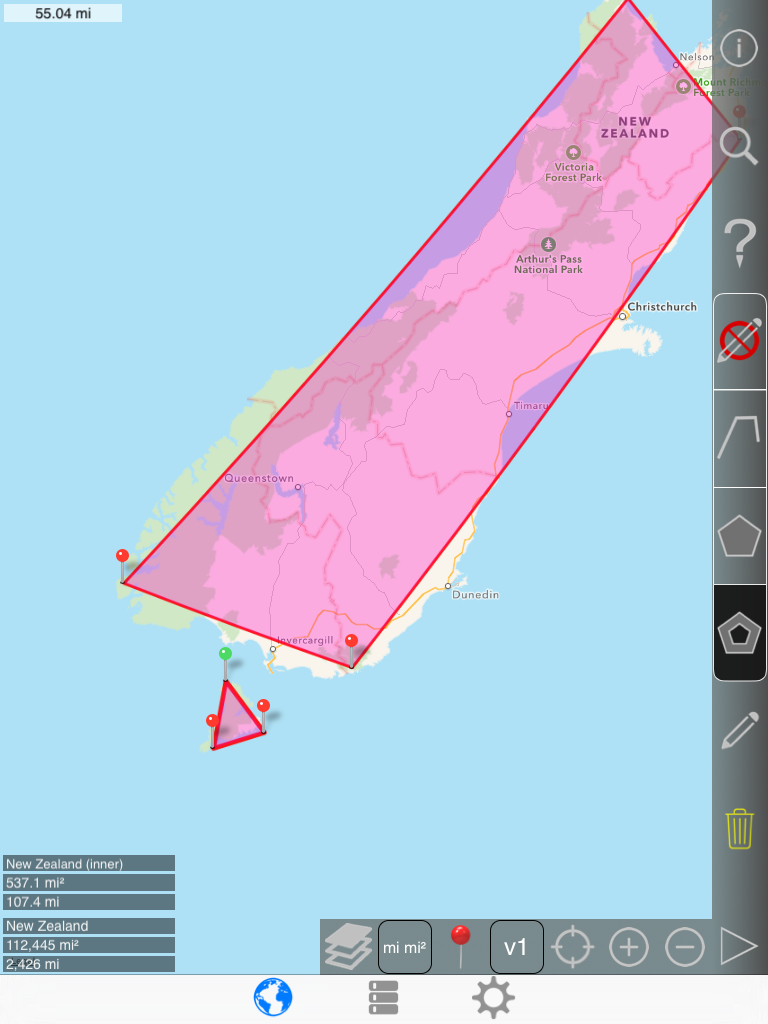
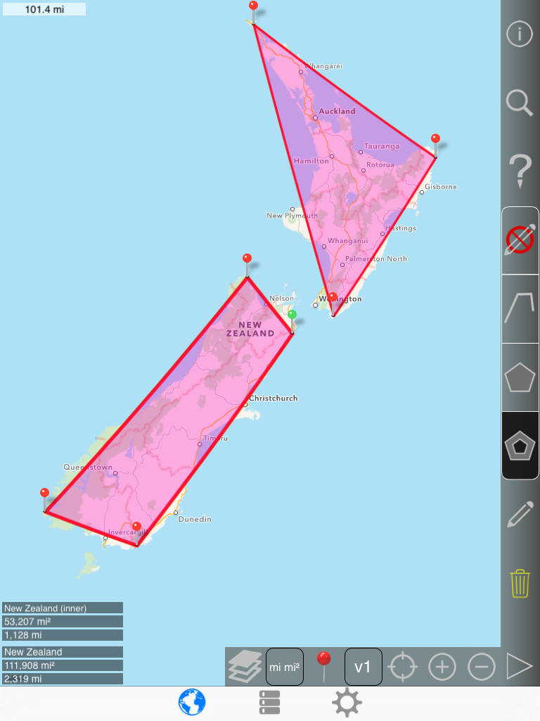
Next tighten up the each island:
Selecting the North Island:
Note that the North Island's area and perimeter appear in the corner followed by total area and total perimeter.
.png)
Selecting the South Island:
.png)
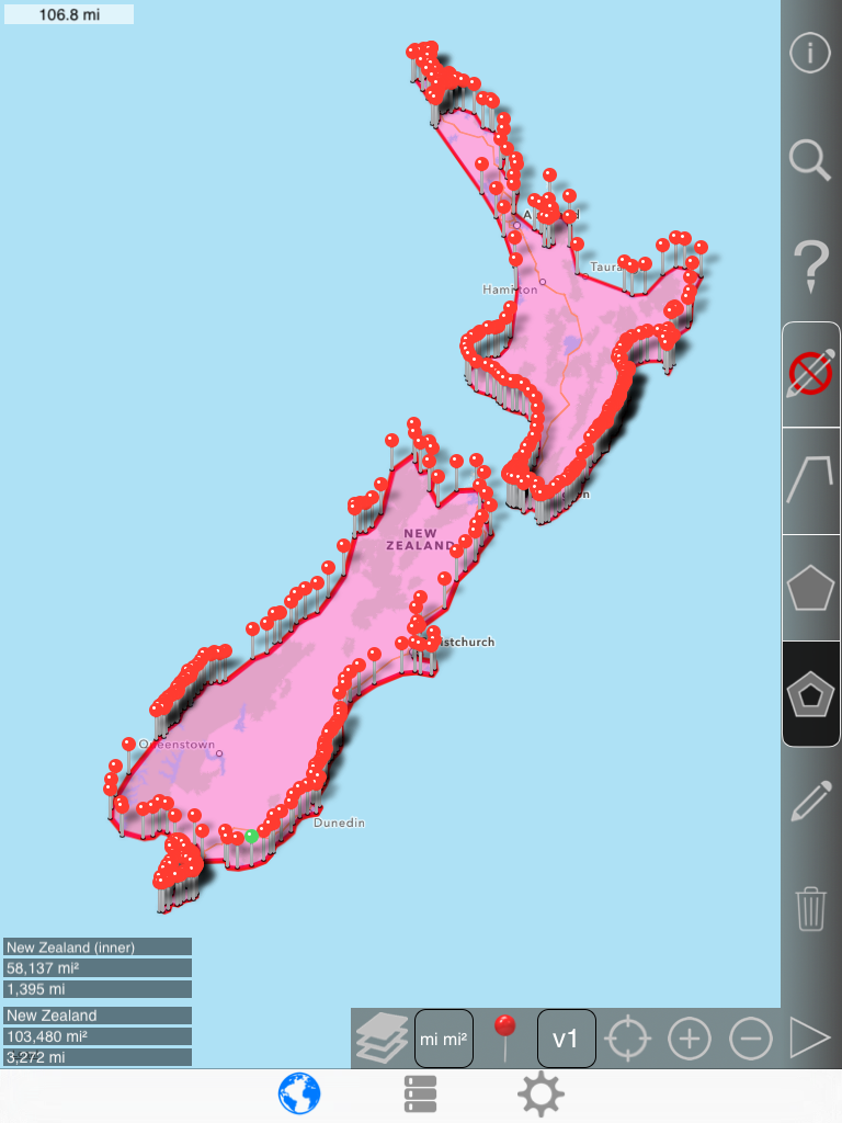
Selecting the small island:
.png)

| Toggle |
 |
-> |
 |
to view in no pin mode |
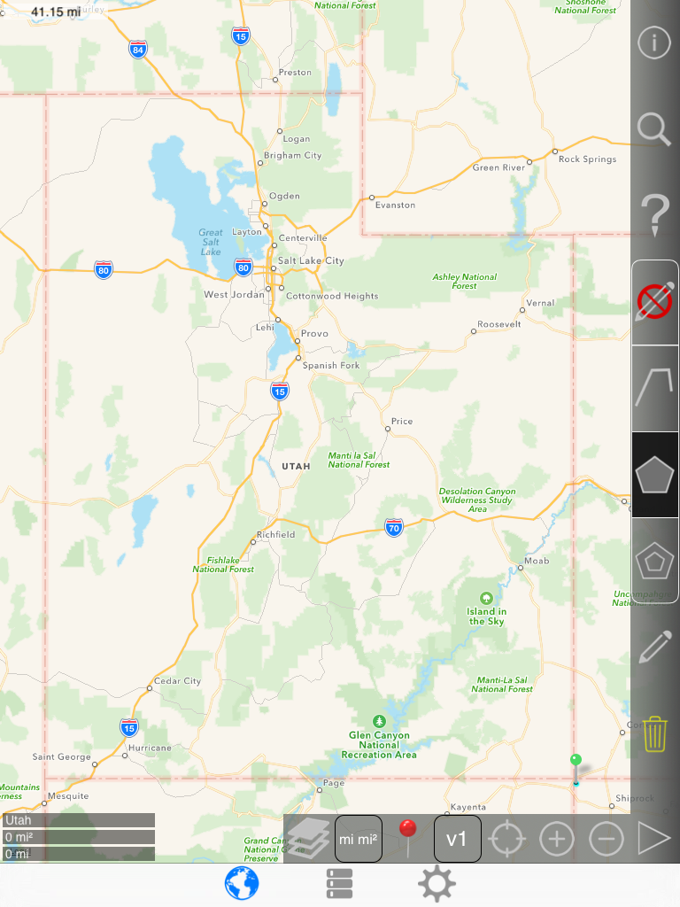
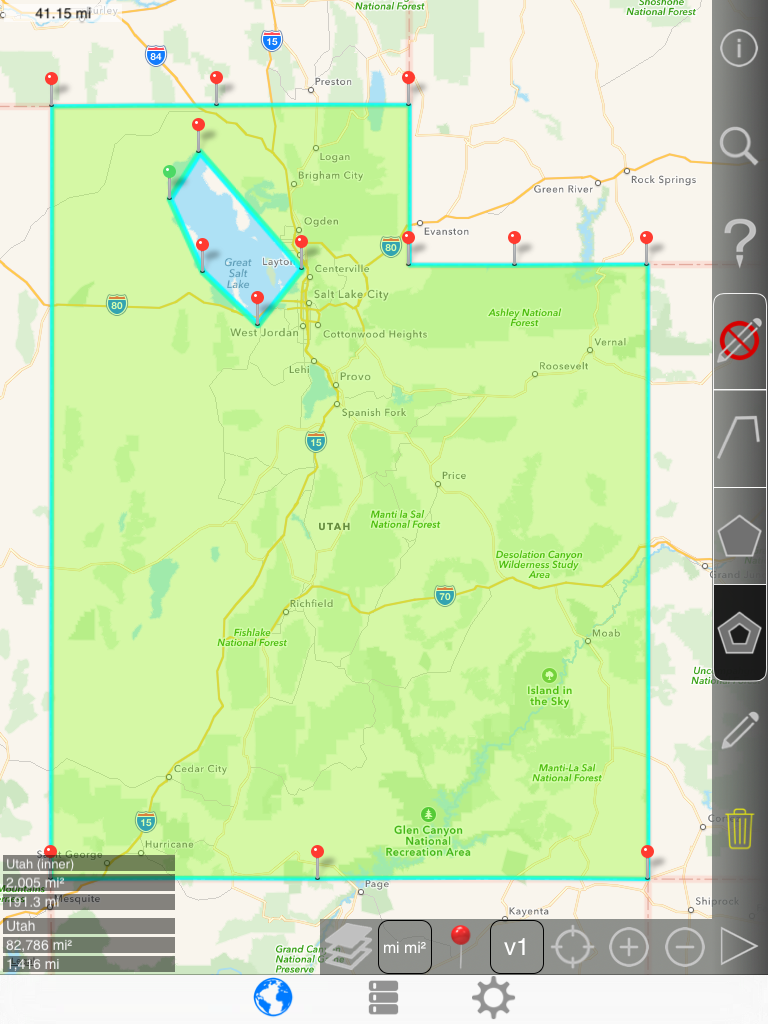
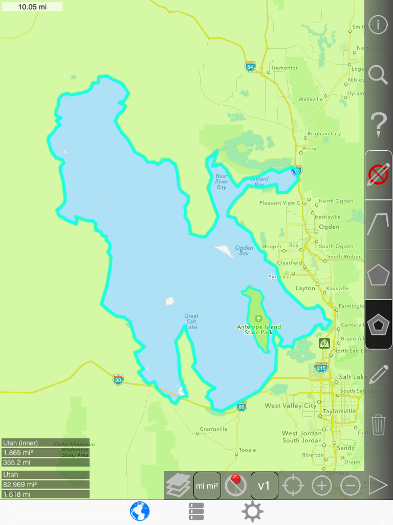
Utah example (multiple nested inner polygons)
For this example, the goal is to draw a polygon that roughly estimates the area of Utah minus the Great Salt Lake plus the area of an island within the Great Salt Lake.
Start by drawing a rough overlay of the entire area.
1st pin (SW corner):
2nd pin:
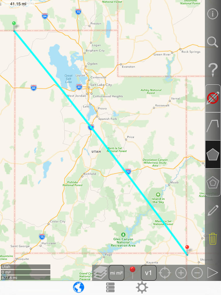
3rd pin:
4th pin:
5th pin:
6th pin:
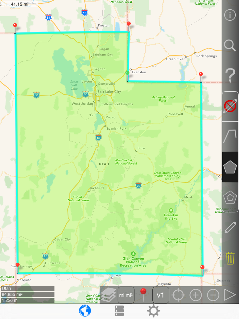
After zooming in and tightening up the outer boundary:
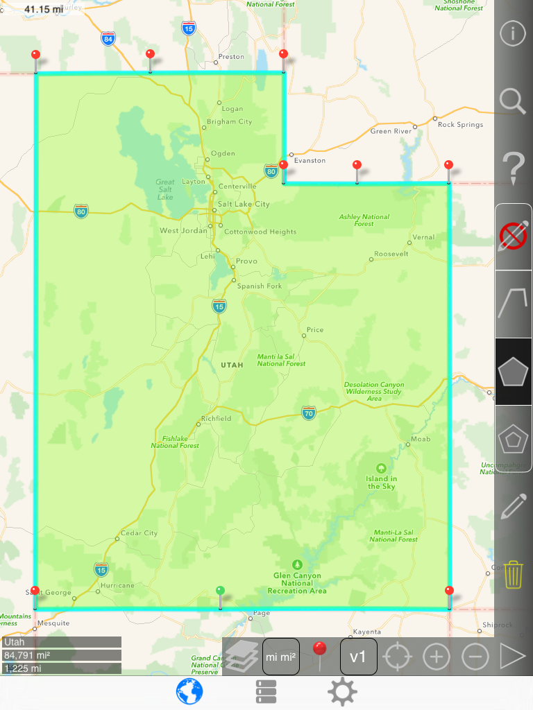
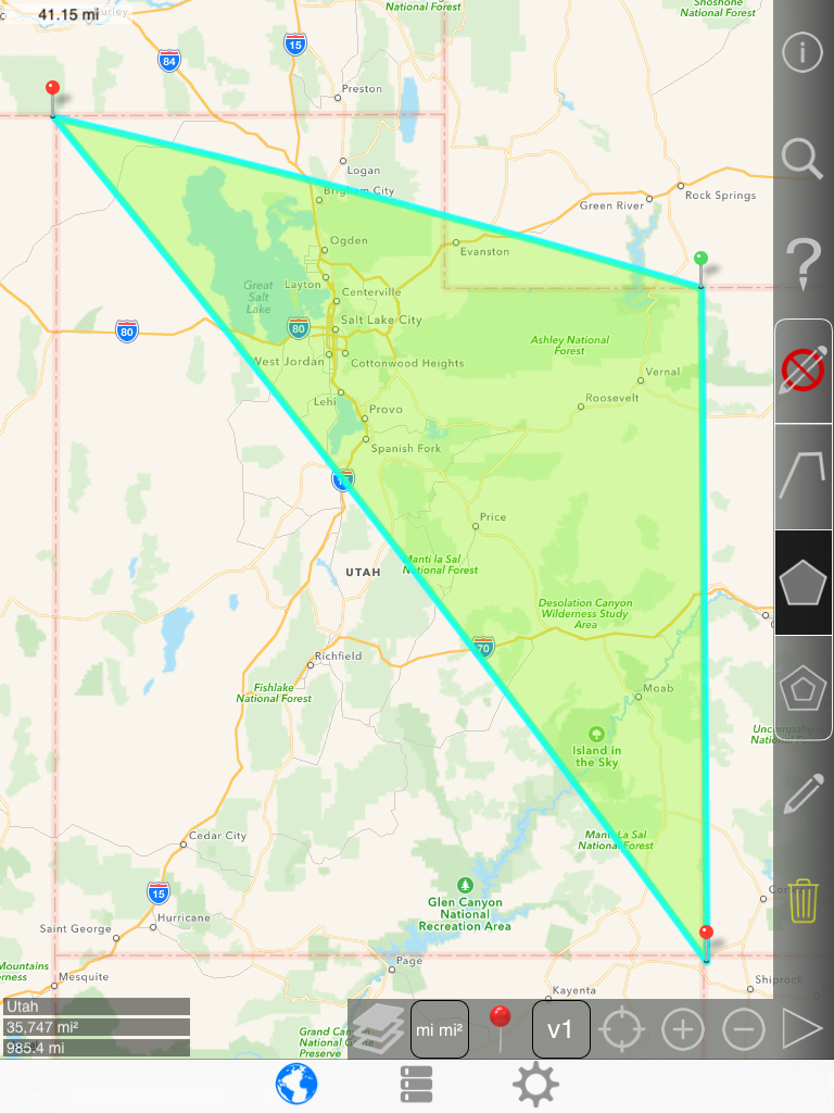
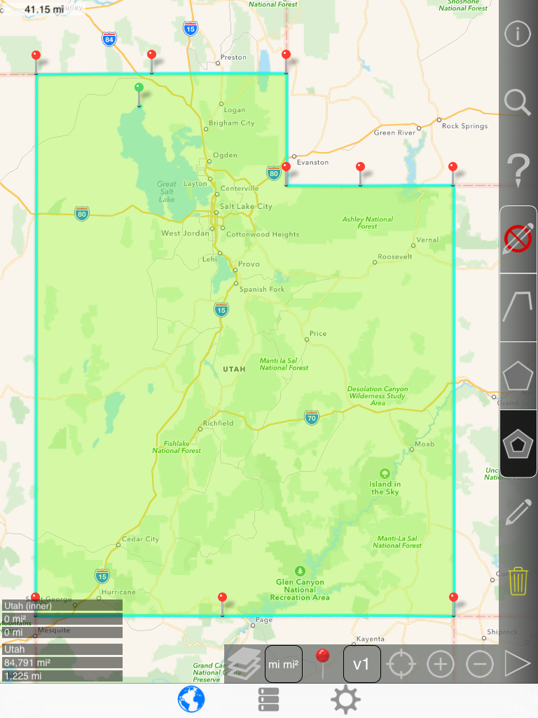
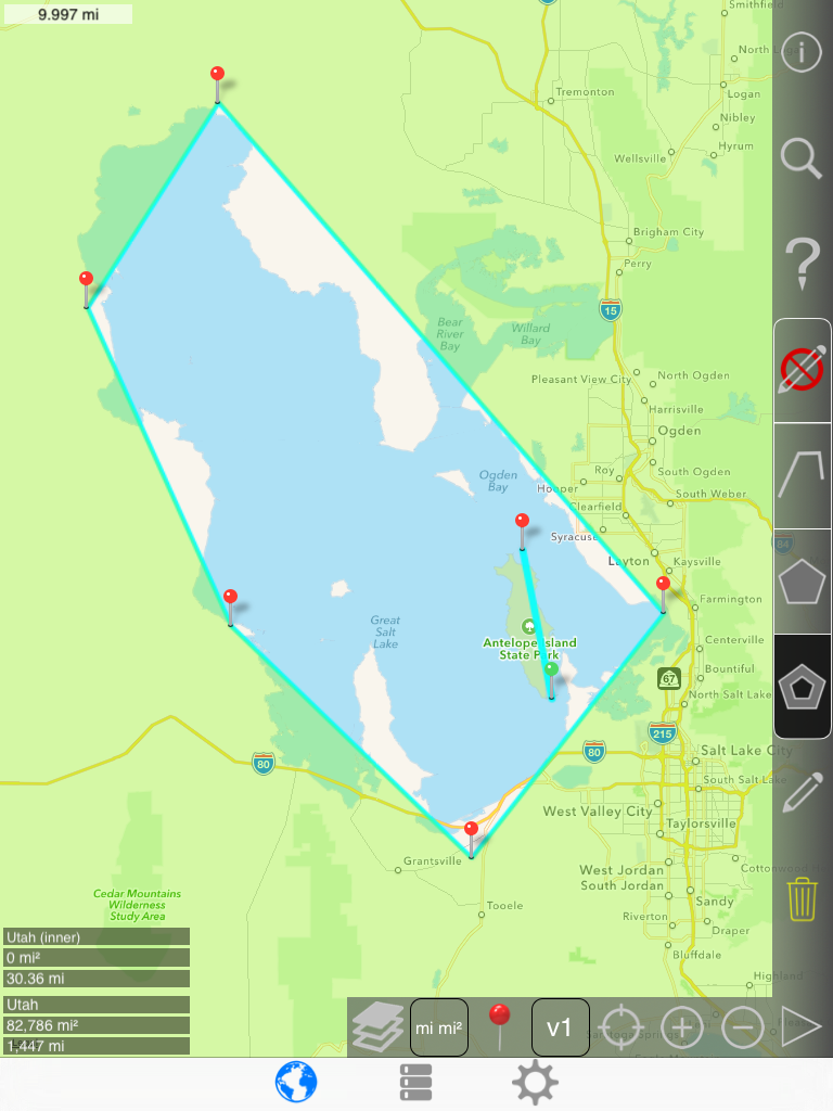
Next, draw a rough overlay of The Great Salt Lake.
Notice that the inner polygon icon on the right bar has been changed from outer polygon to inner polygon.
|
|
-> |
|
1st pin:
2nd pin:

3rd pin:
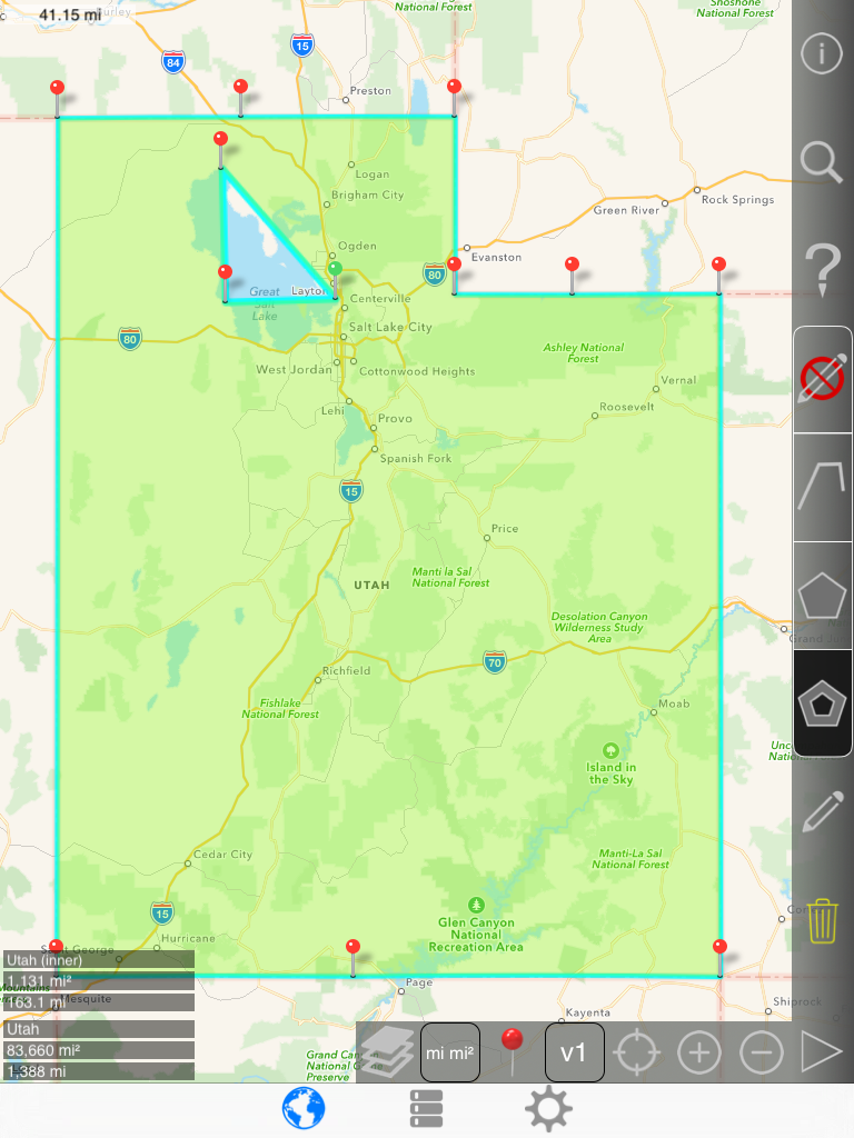
... 5th pin:
Zooming in:

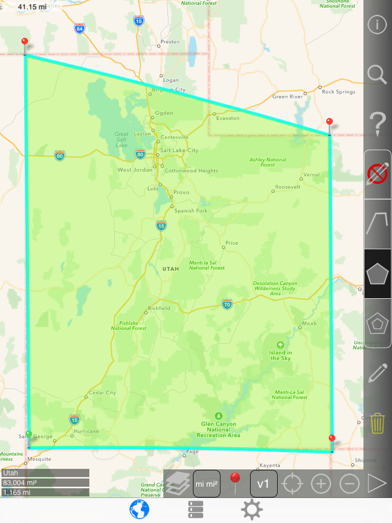
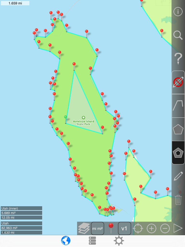
Next, draw a rough overlay of the large island within the lake.
1st pin:

2nd pin:
Many pins:
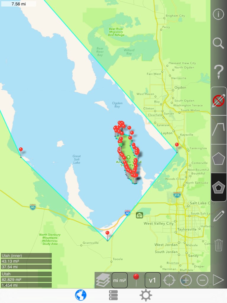
Notice that the area increased when the island was created:
.png)
.png)
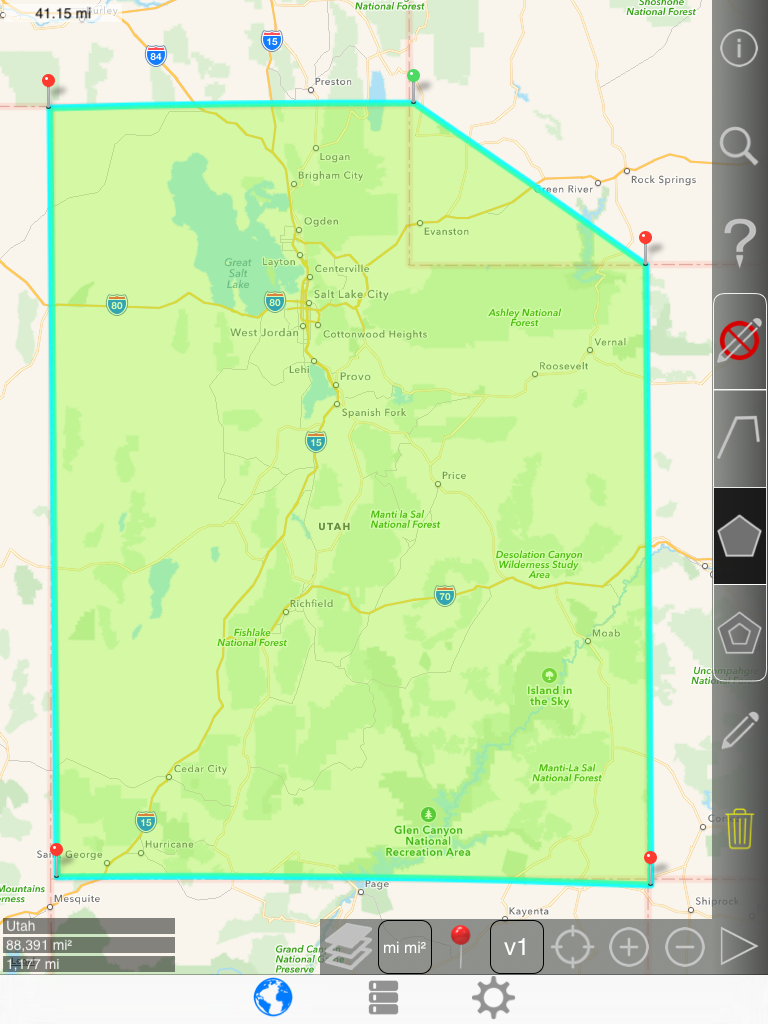
Tighten the shore lines:
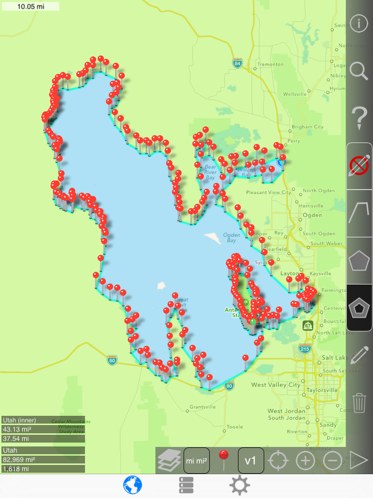
No pin mode:
Creating an imaginary lake on the island decreases total area:
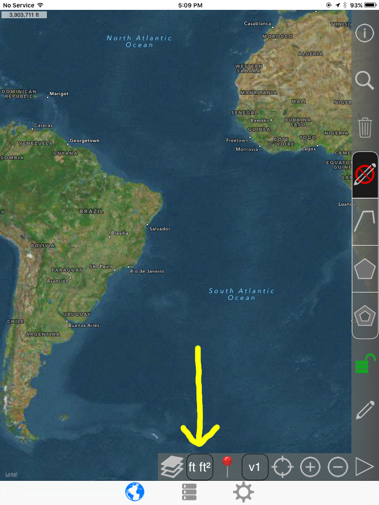
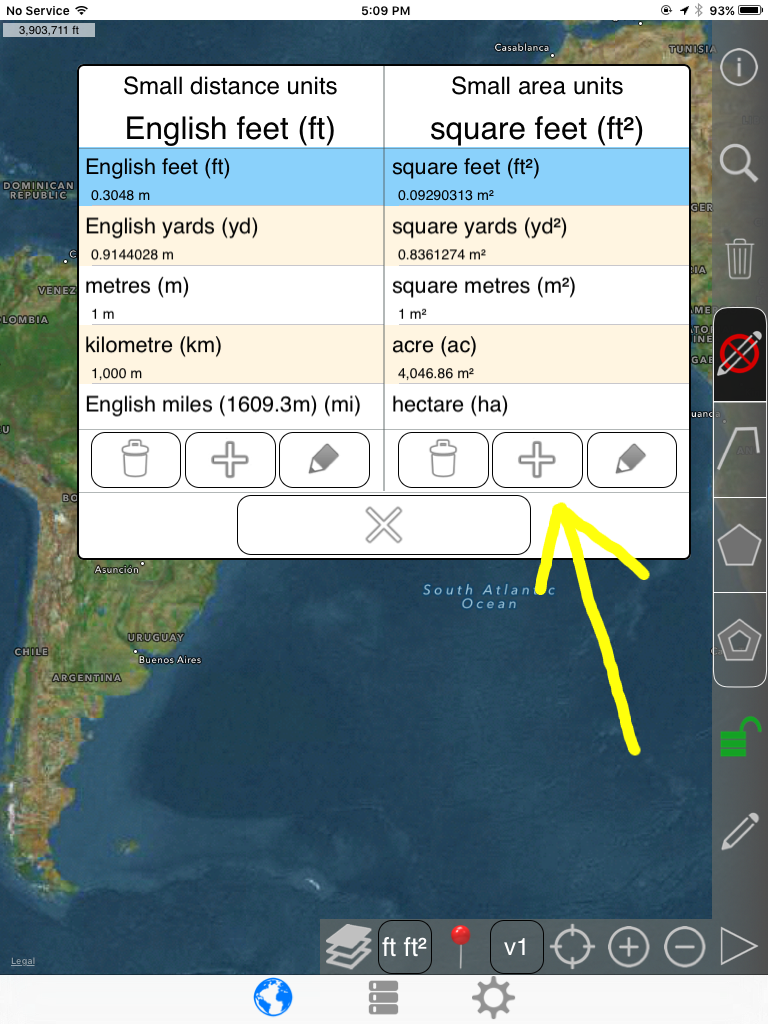
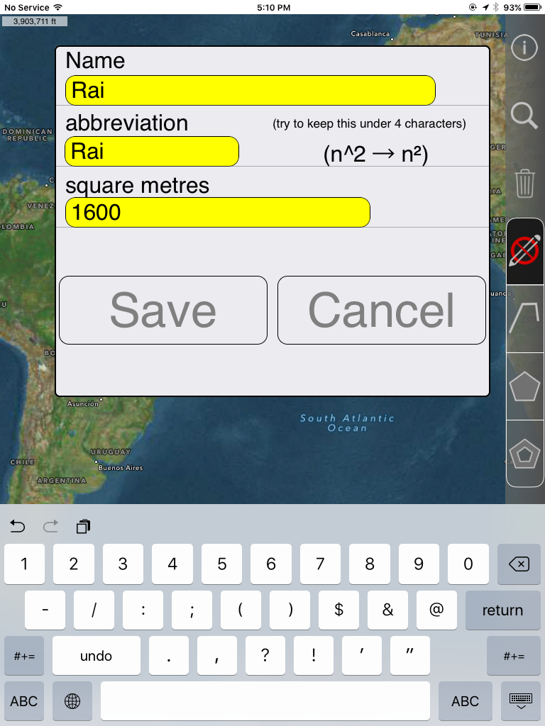
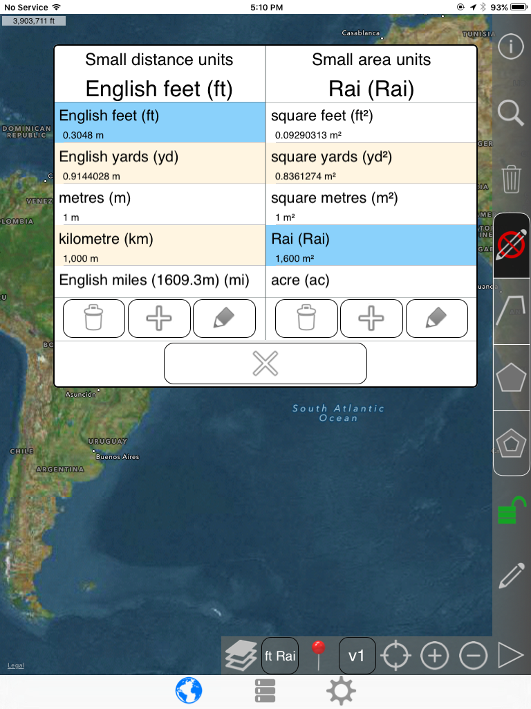
Custom area unit example
In this example, we add the Thai Rai area Unit. 1 Rai is equal to 1600 square meters.
https://en.wikipedia.org/wiki/Rai_(unit)
Long press (press and hold) this button. Tapping toggles between large and small.
Known limitations